September 11 – 13, 2021
Gering
The next destination along our journey was Gering located in western Nebraska at the foot of Scotts Bluff National Monument. Gering lies between Colorado’s Front Range, Yellowstone National Park, and the Black Hills with Nebraska’s Wildcat Hills as a backdrop.
Robidoux RV Park
Basecamp for our stay here was Robidoux RV Park, a really nice park with lots of grassy space between sites. Each site was level with a concrete pad and patio with picnic table. It also provided a great view of Scotts Bluff National Monument.
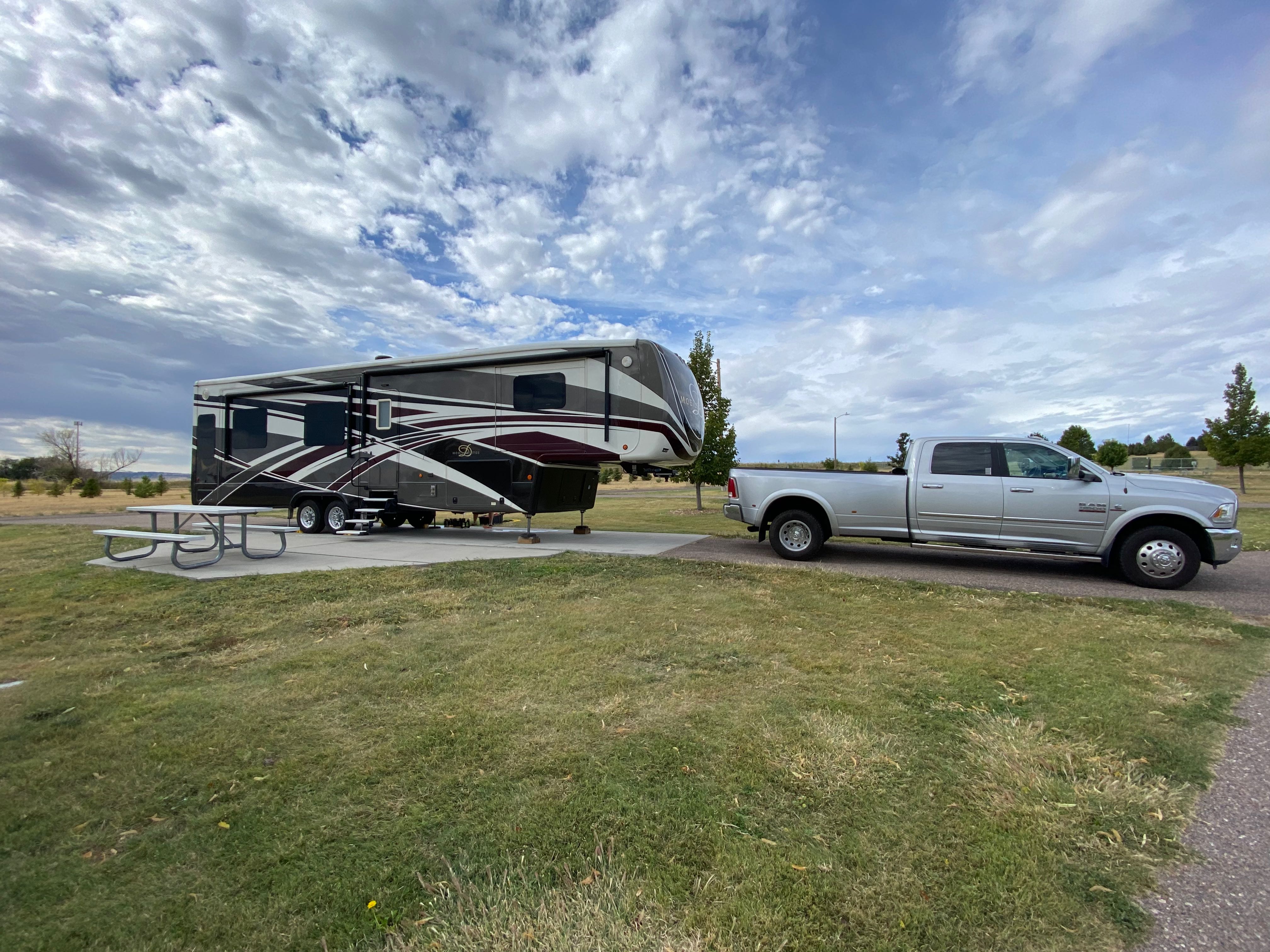
Our Site 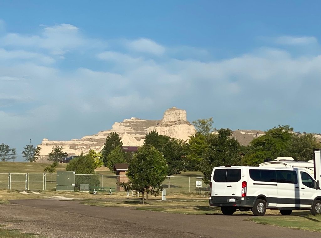
View of Monument from campground
Scotts Bluff National Monument
For a period spanning at least 40 years, a network of historic trails brought hundreds of thousands of fur traders, explorers, missionaries, settlers, gold seekers, soldiers and businessmen past Scotts Bluff. What has been described as the greatest voluntary mass migration in human history took place in the shadow of this prominent landmark.
On March 28, 1914, an inquiry was made to the Department of the Interior about the possibility of establishing a National Monument at Scotts Bluff. Two years later a second attempt was made, which coincided with the establishment of the National Park Service on August 5, 1916.
Not having received a positive response from the federal government, concerned citizens submitted a petition to the National Park Service on October 5, 1916, in which they urged that a national monument commemorating the Oregon Trail be set aside. In March of 1918, a second petition was submitted, and their persistence paid off. On December 12, 1919, Woodrow Wilson signed a Presidential Proclamation, which officially established Scotts Bluff National Monument.
npshistory.com
We stopped first at the Visitor’s Center for maps and additional information.
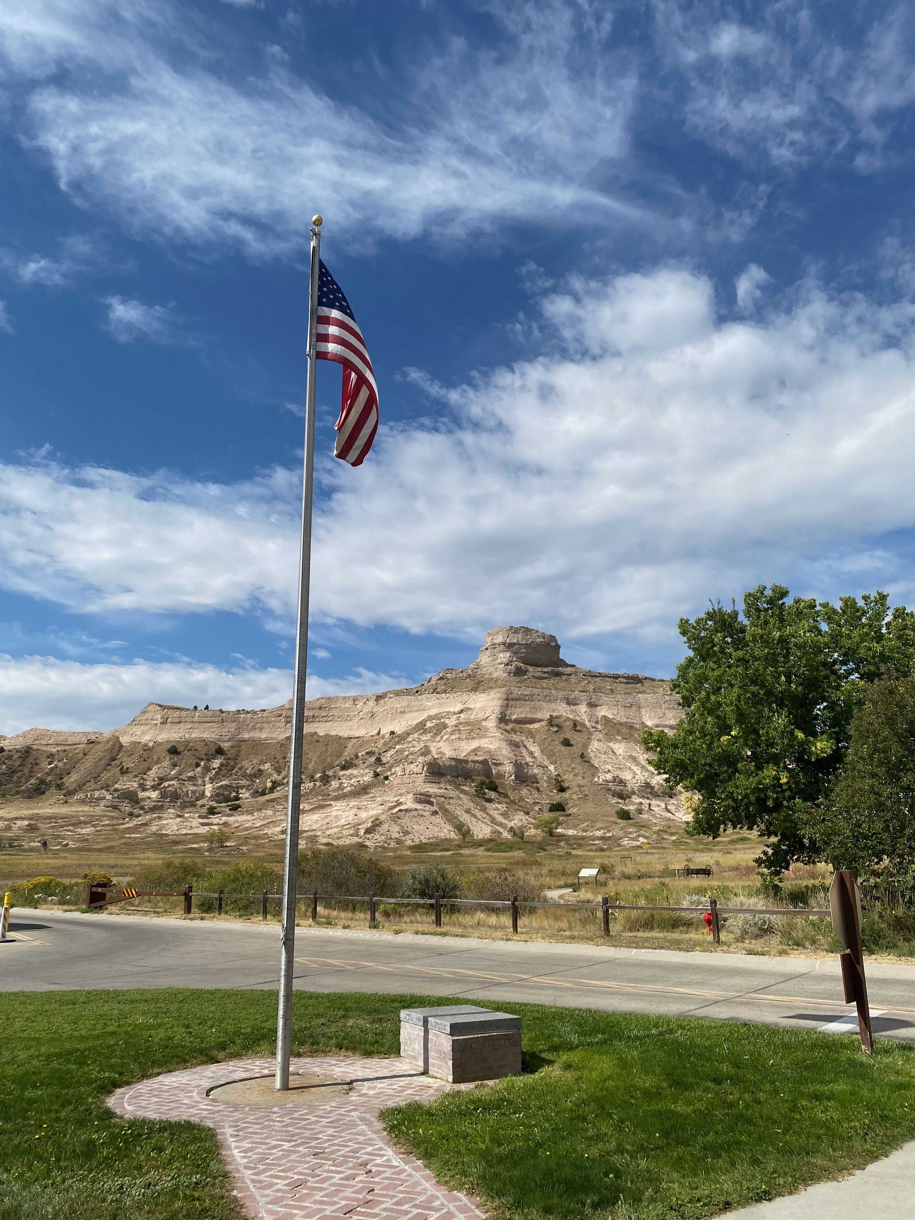
Scotts Bluff Eagle Rock 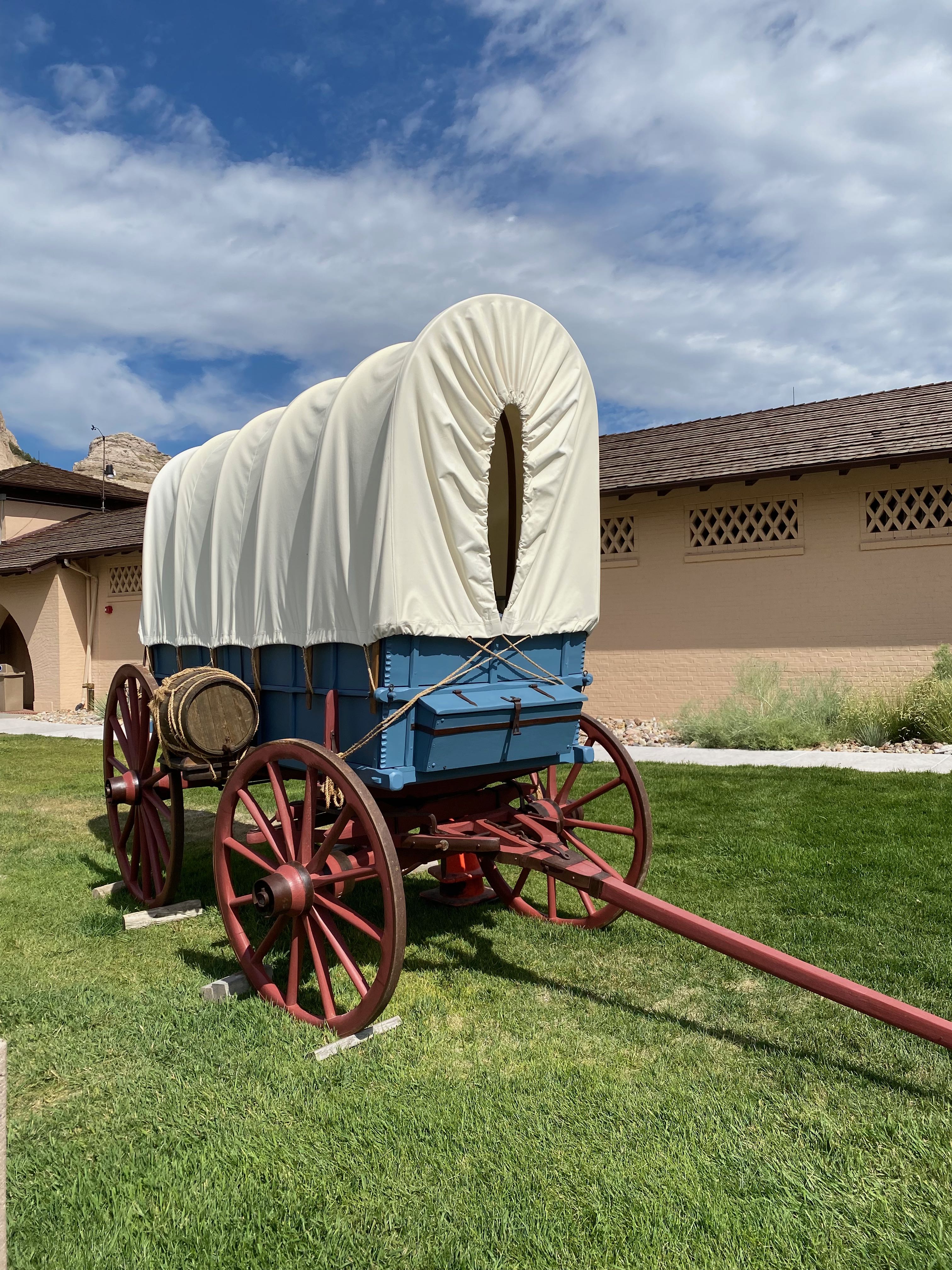
Conestoga wagon 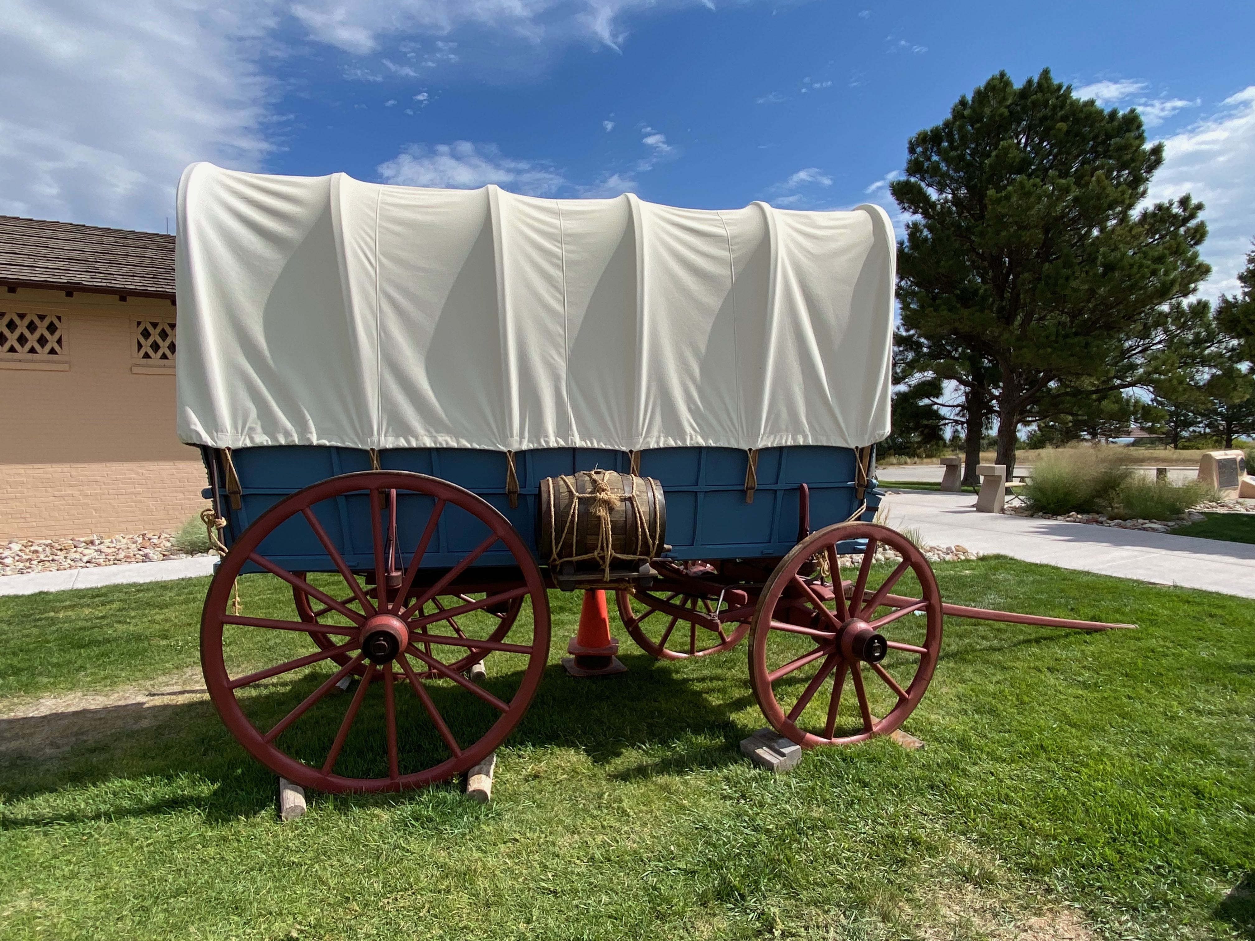
Conestoga wagon
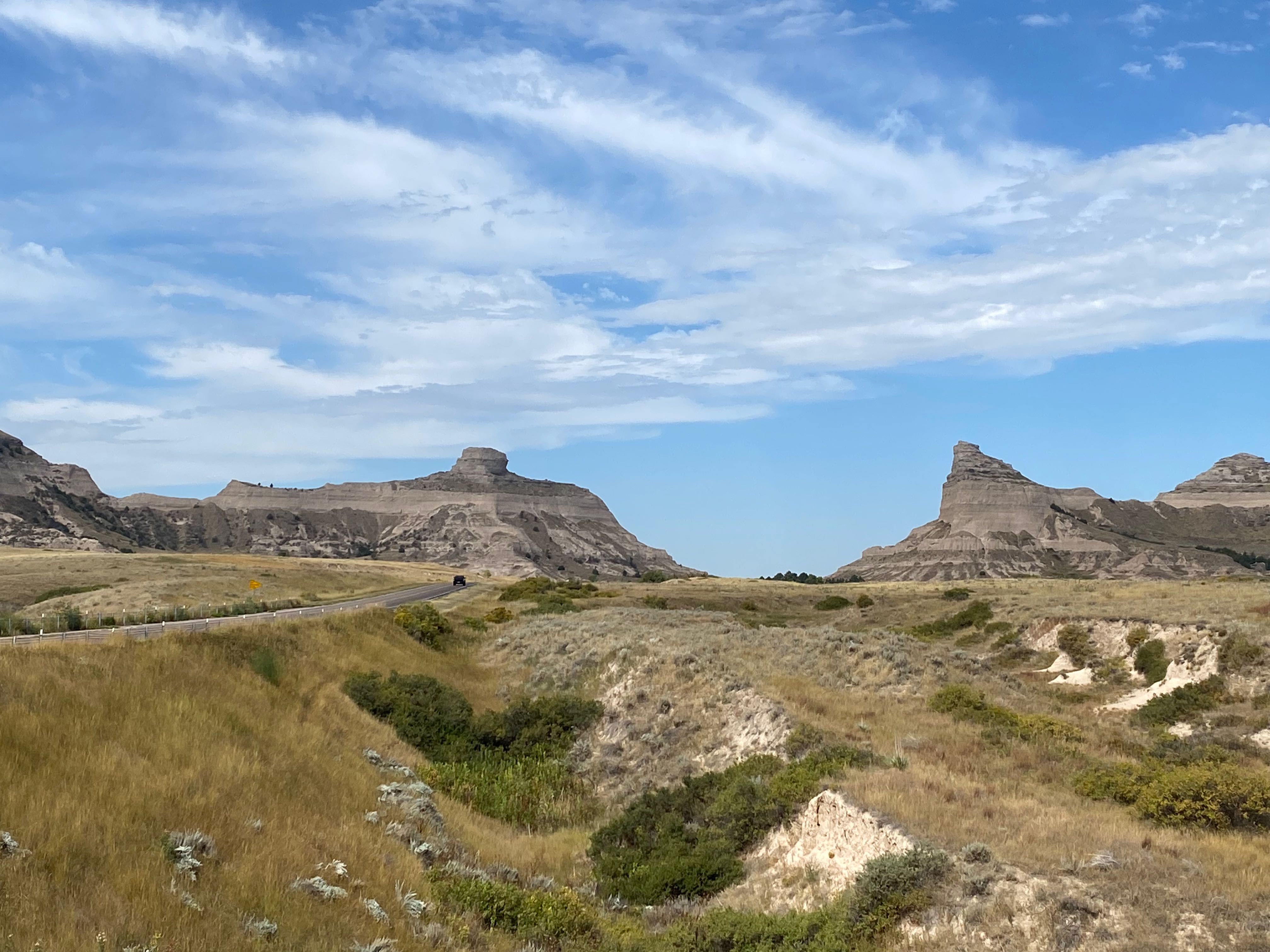
Mitchell Pass
The gap in the bluffs near Scottsbluff and Gering was originally known as “Devil’s Gap” due to the howling winds. It was renamed Mitchell Pass following the establishment of nearby Ft. Mitchell in 1864. The pass became the preferred route for the Oregon and California Trails when unknown laborers constructed a road in 1850. Prior to that, emigrants journeyed south of the bluffs through Robidoux Pass – a longer route further from the North Platte River, their major water source. The Pony Express and the wires for the first transcontinental telegraph also went through Mitchell Pass.
Mitchell Pass 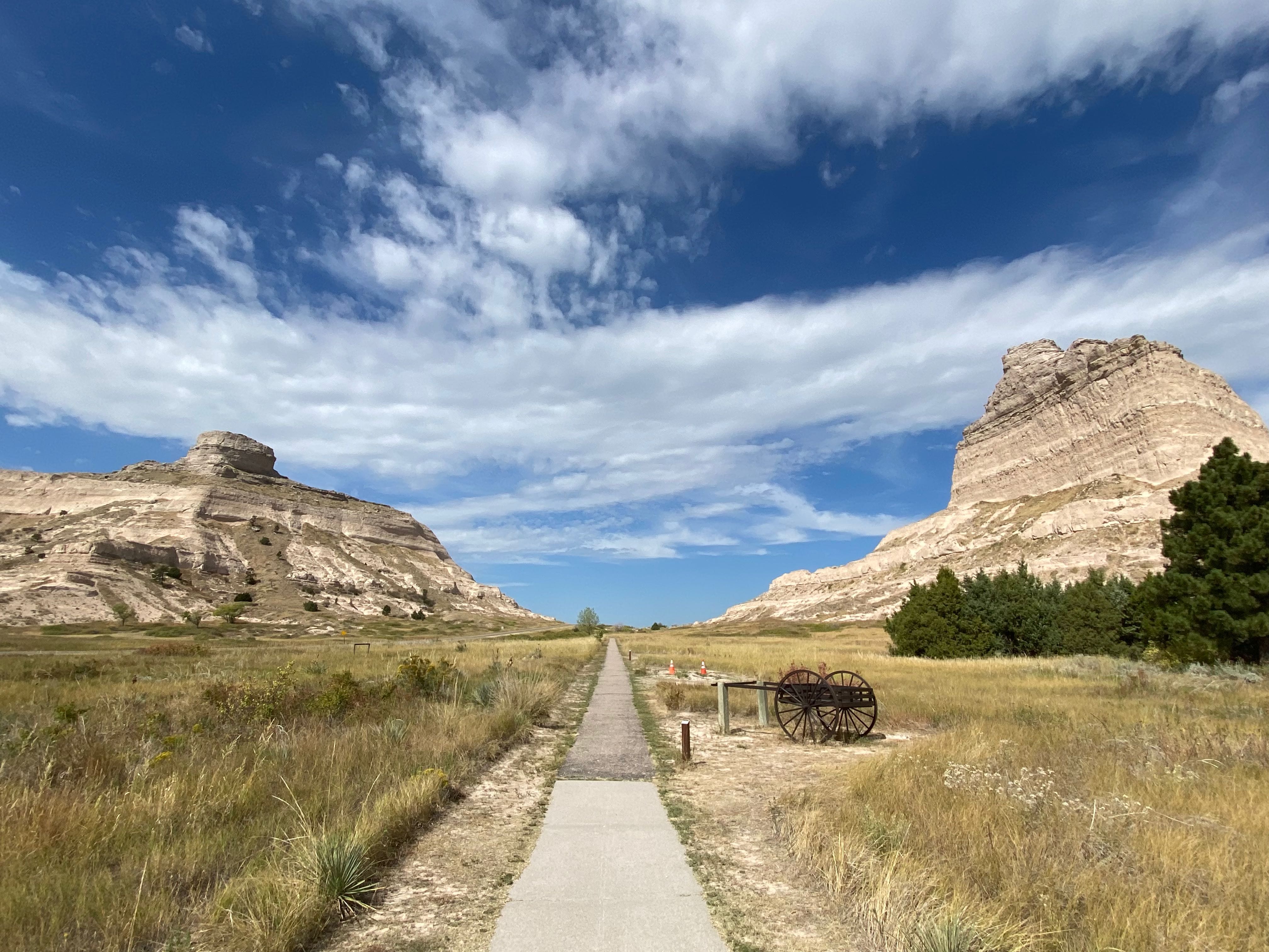
Mitchell Pass
Scotts Bluff Eagle Rock (left)
Scotts Bluff Sentinel Rock (right)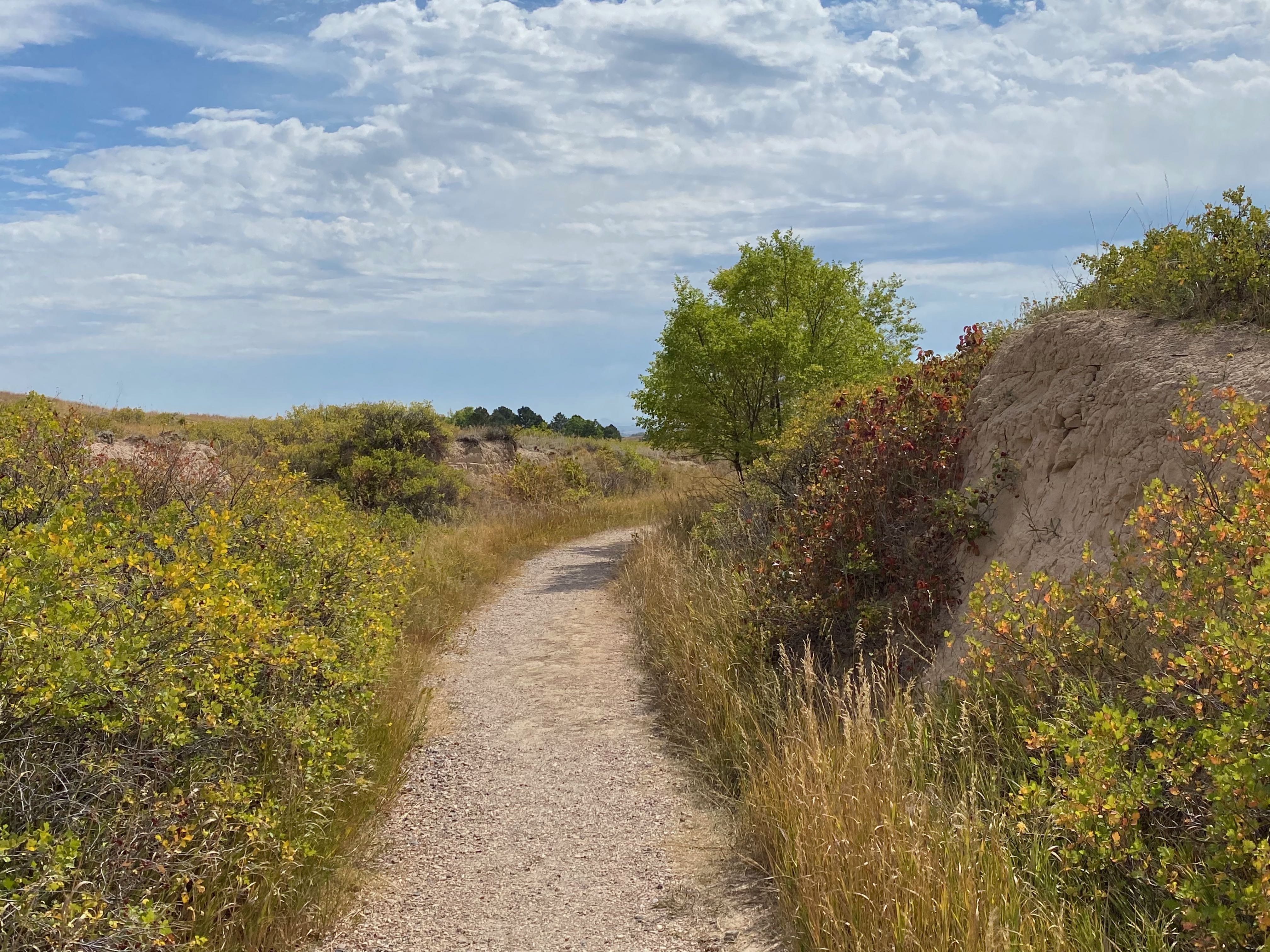
Oregon Trail through Mitchell Pass
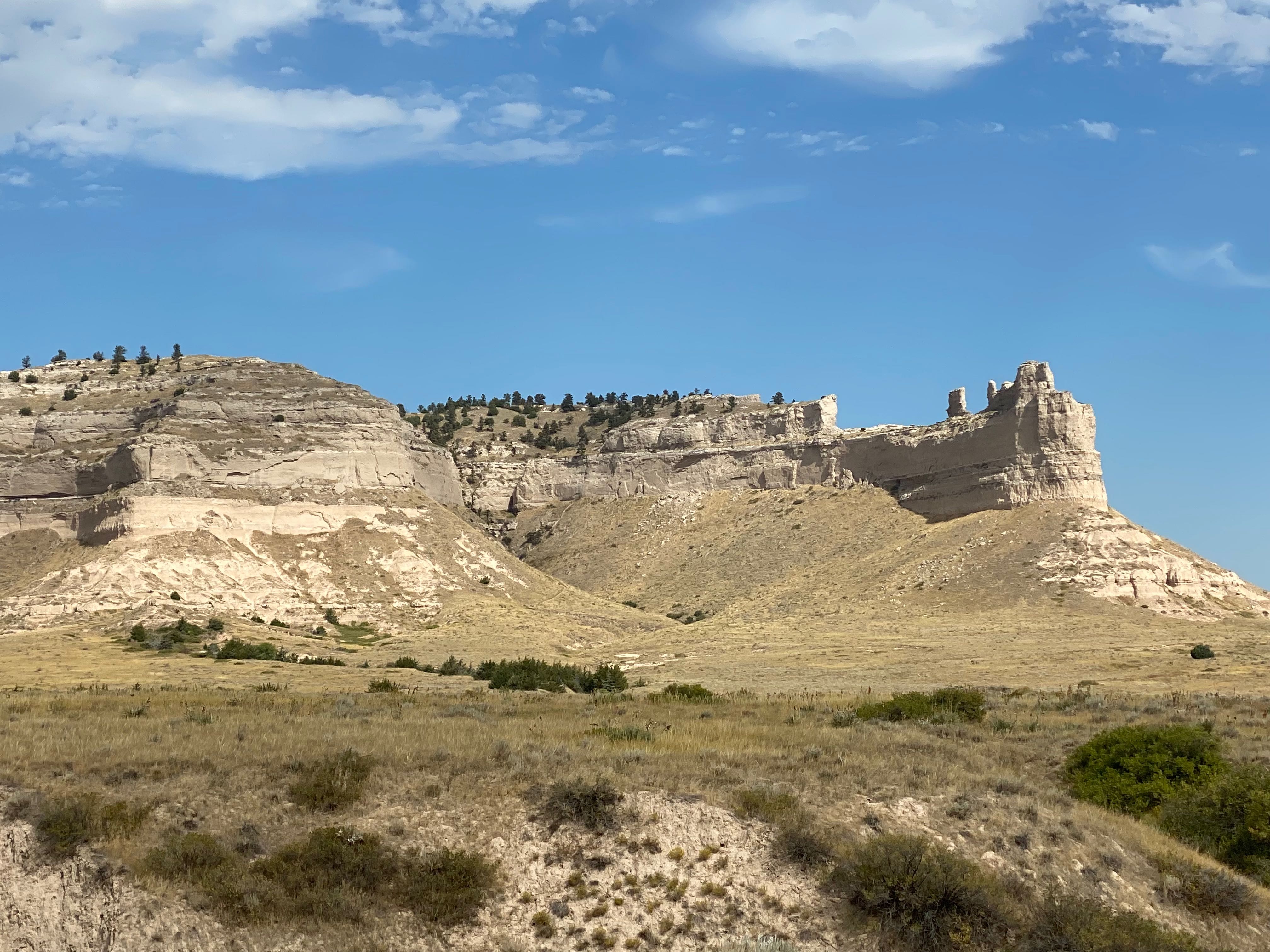
Scotts Bluff
Towering 800 feet above the North Platte River, Scotts Bluff is composed of layers of sandstone, siltstone, volcanic ash and limestone. A cap of hardened limestone slowed the rate of erosion and resulted in the remaining unique formations.
For travelers along the Oregon or California Trails, the bluff signified that the easiest part of their journey was behind them. Ahead lay the mountains.
Scotts Bluff 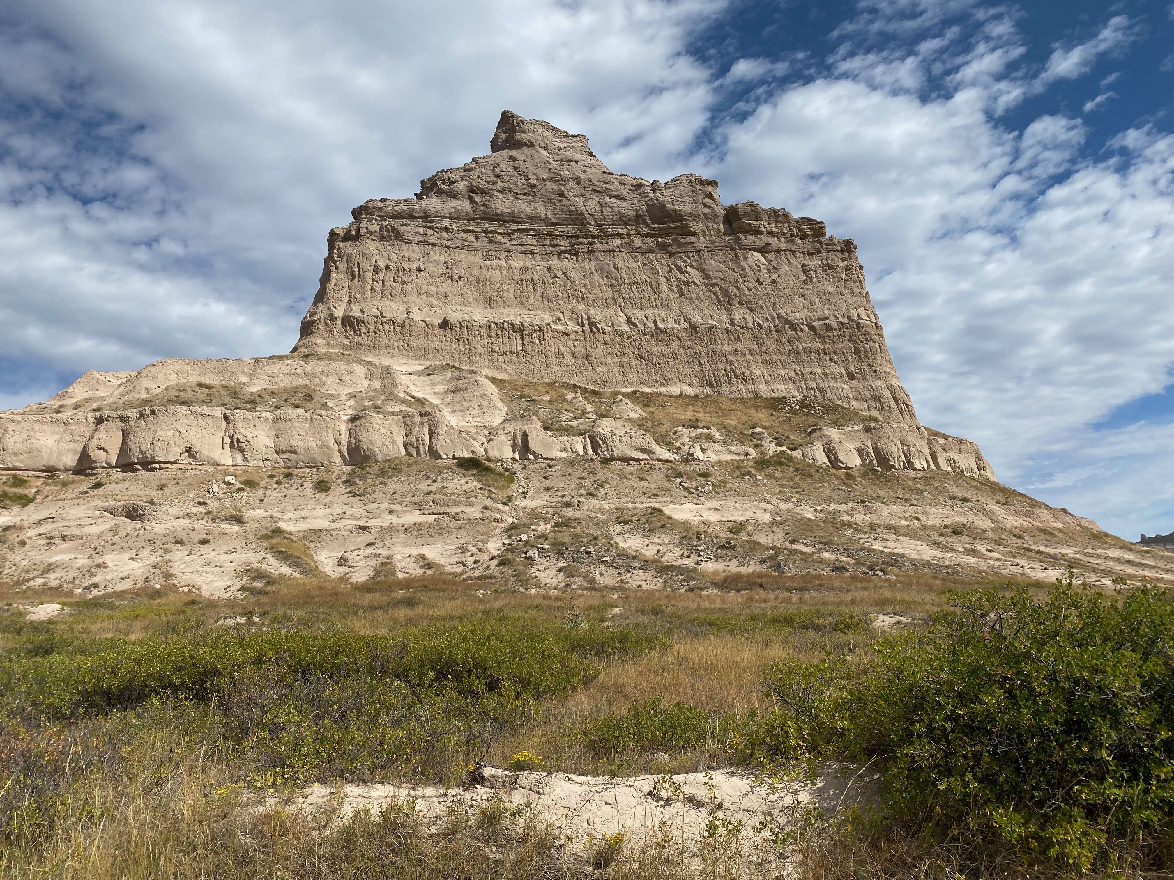
Scotts Bluff Sentinel Rock
Leaving the Visitor’s Center, we drove to the top via Scotts Bluff Summit Road.
Built in the 1930’s, the Summit Road is the oldest concrete road in the State of Nebraska and gives visitors a chance to reach the top of the bluff by automobile. This 1.6 mile drive features scenic views and the only three vehicular tunnels in the state. It is narrow with sharp curves.
nps.gov

View from atop Scotts Bluff
Looking toward Scotts Bluff Eagle Rock
Atop Scotts Bluff 
Atop Scotts Bluff overlooking the town
After leaving the Monument, we debated about going to see Courthouse and Jail Rock (about 30 minutes away) but decided that a leisurely dinner in Scottsbluff sounded like more fun.
Tomorrow we head for Colorado.