May 18 – 28, 2021
Leaving Gallup, New Mexico, we headed for Williams, Arizona. Along our way, we passed the exit for Meteor Crater Natural Landmark. We talked briefly about trying to go there while pulling the RV but decided not to. We’ll just have to put it on the list for sometime in the future.
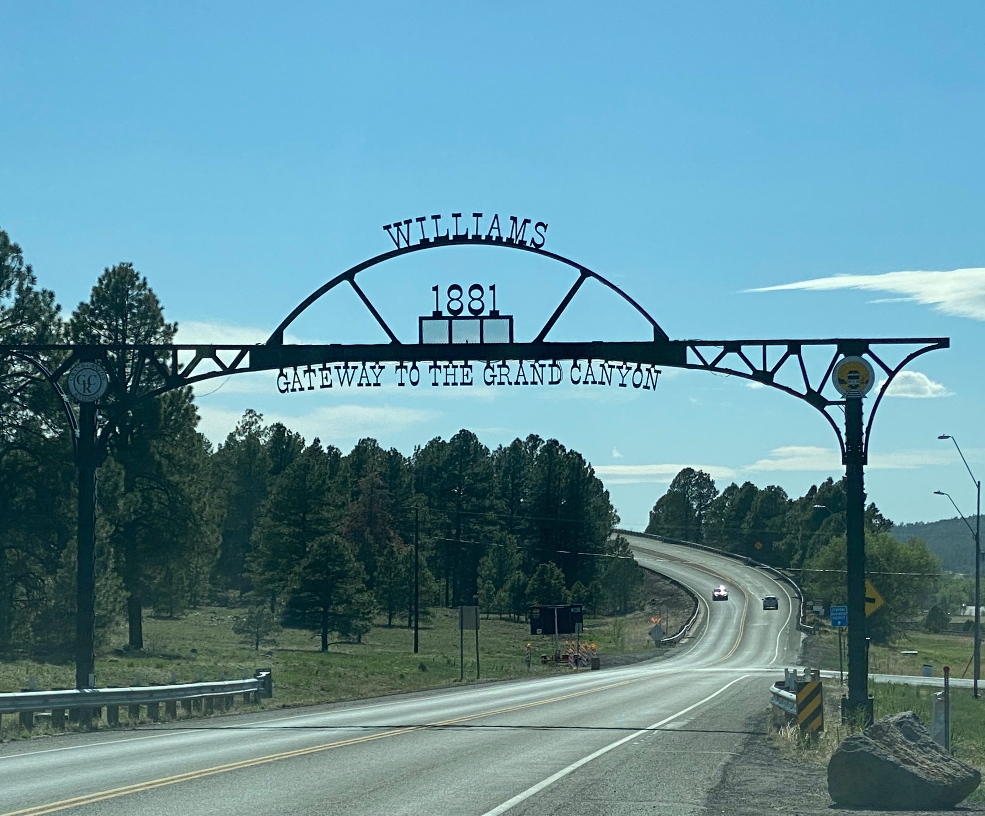
Williams
Williams, Arizona is located in the heart of the Kaibab National Forest at an elevation of 6,770 feet.
Founded in 1881, Williams was named for the famous trapper, scout and mountain man, “Old Bill Williams.” A statue of “Old Bill” stands in Monument Park, located on the west side of the city. The large mountain directly south of town is named Bill Williams Mountain and the Town was incorporated July 9, 1901.
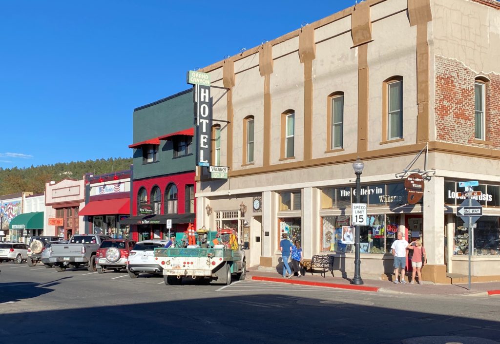
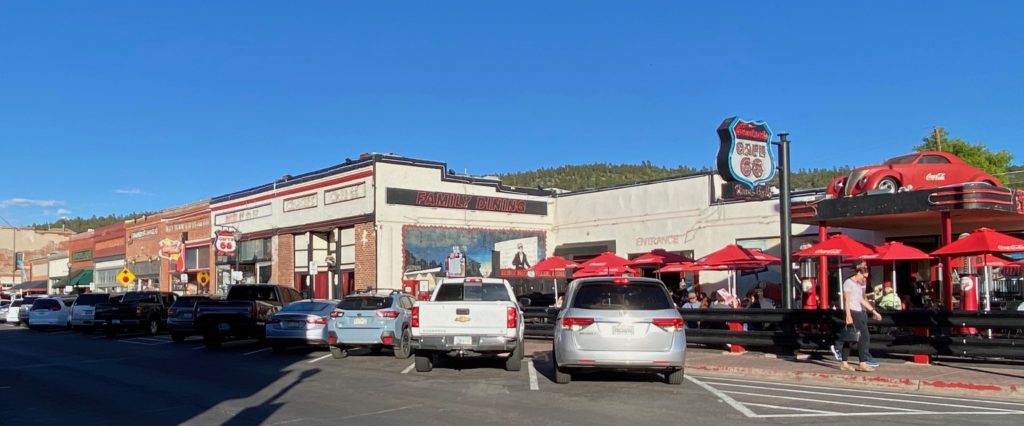
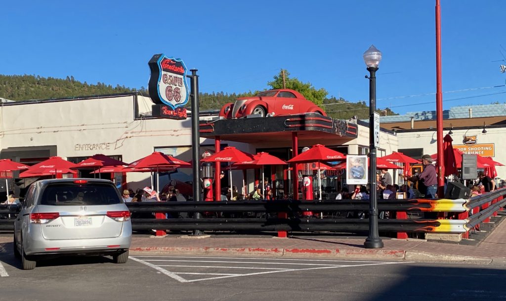
Also known as the “Gateway to the Grand Canyon,” Williams was the last town on Historic Route 66 to be bypassed by Interstate 40. The community, bypassed on Oct. 13, 1984, continues to thrive on tourism.
williamsaz.gov
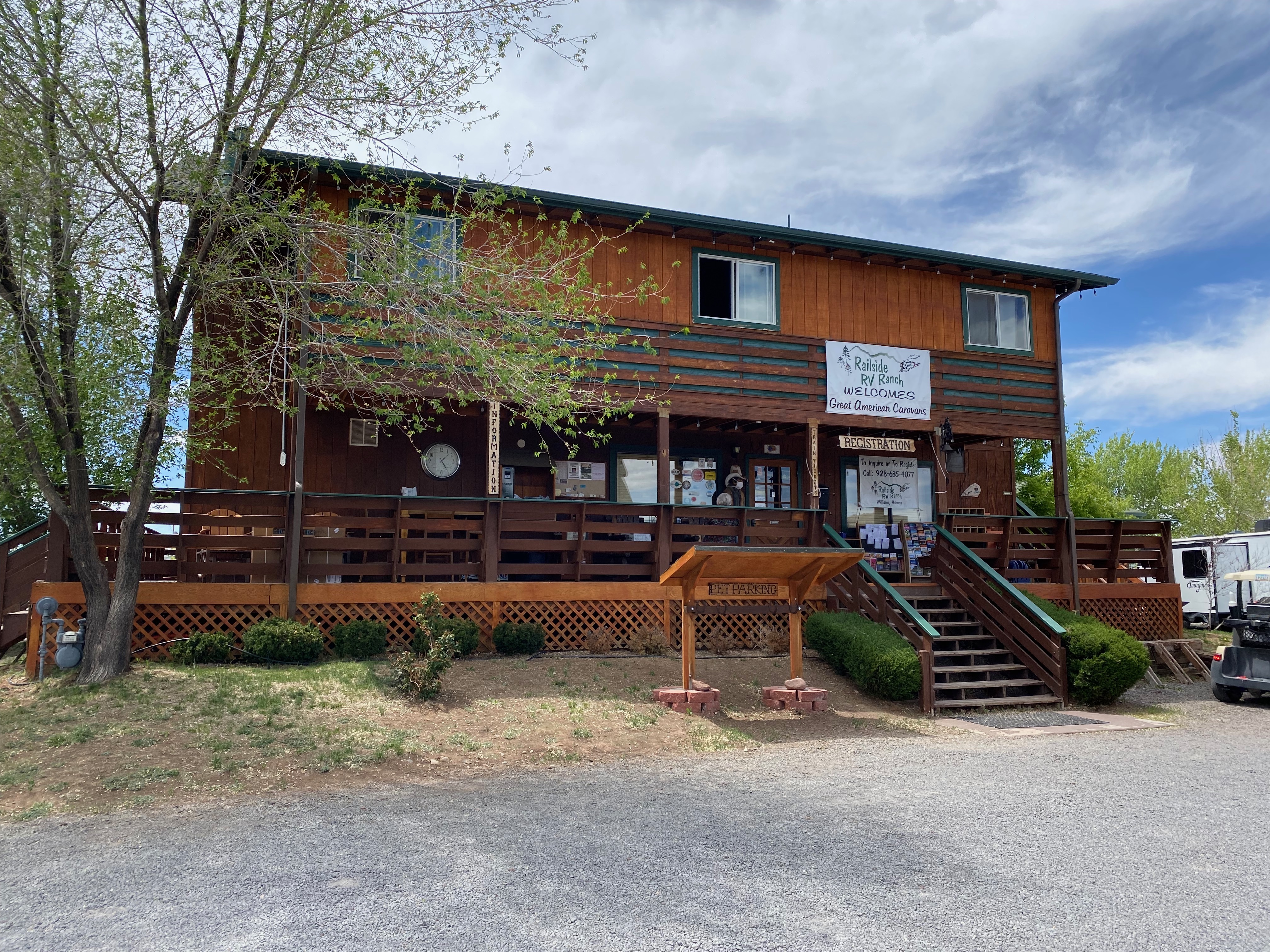
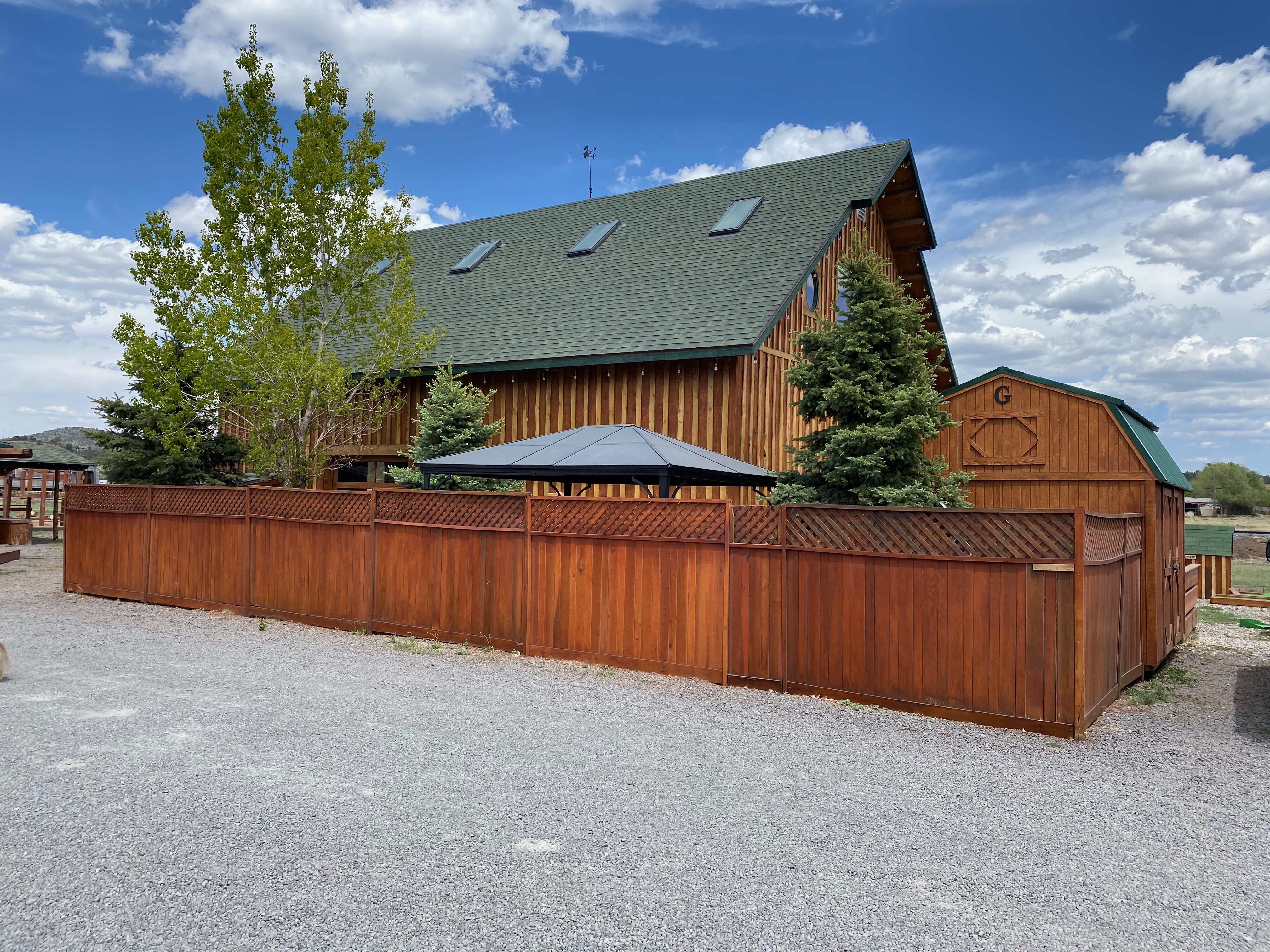
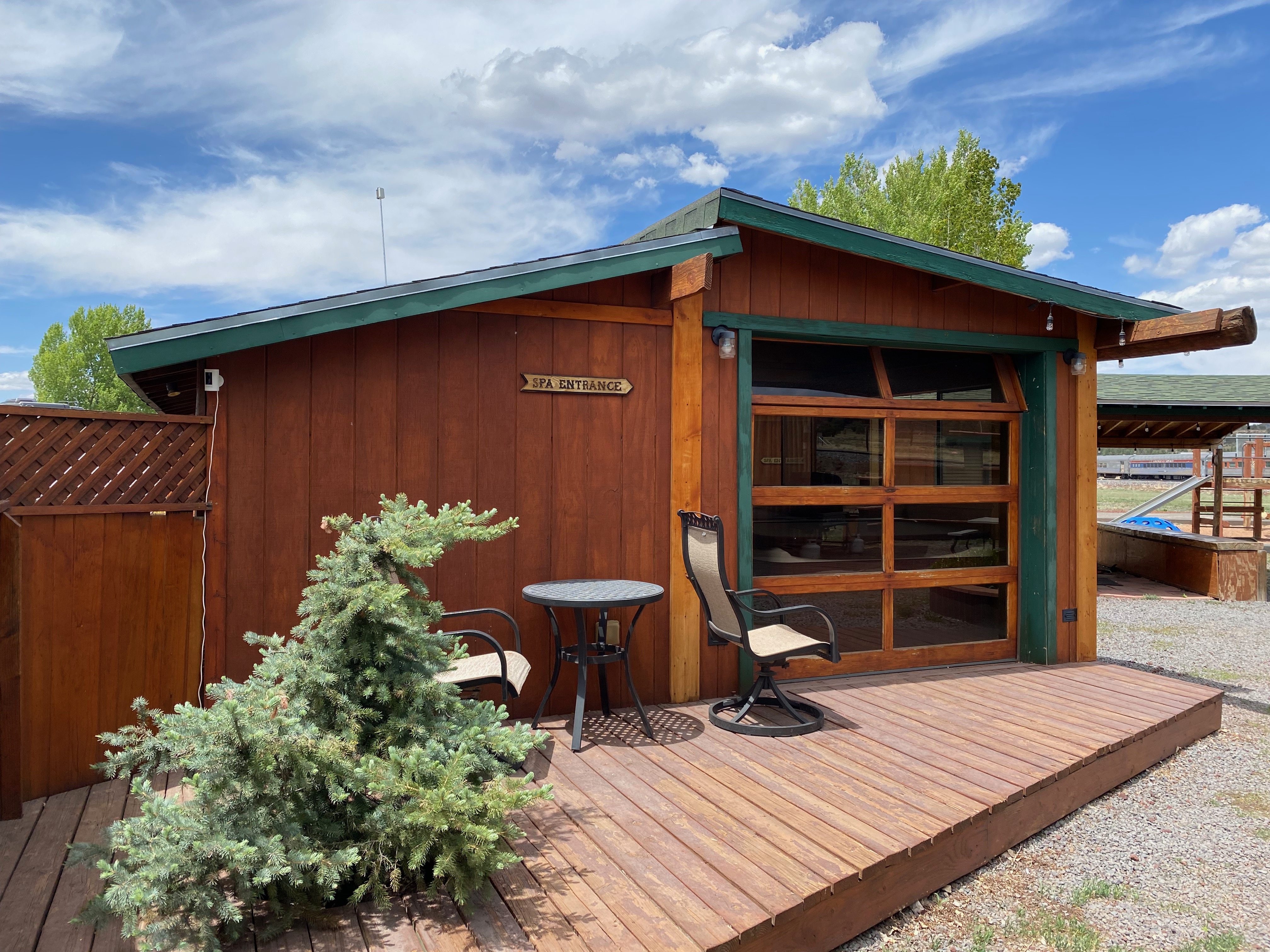
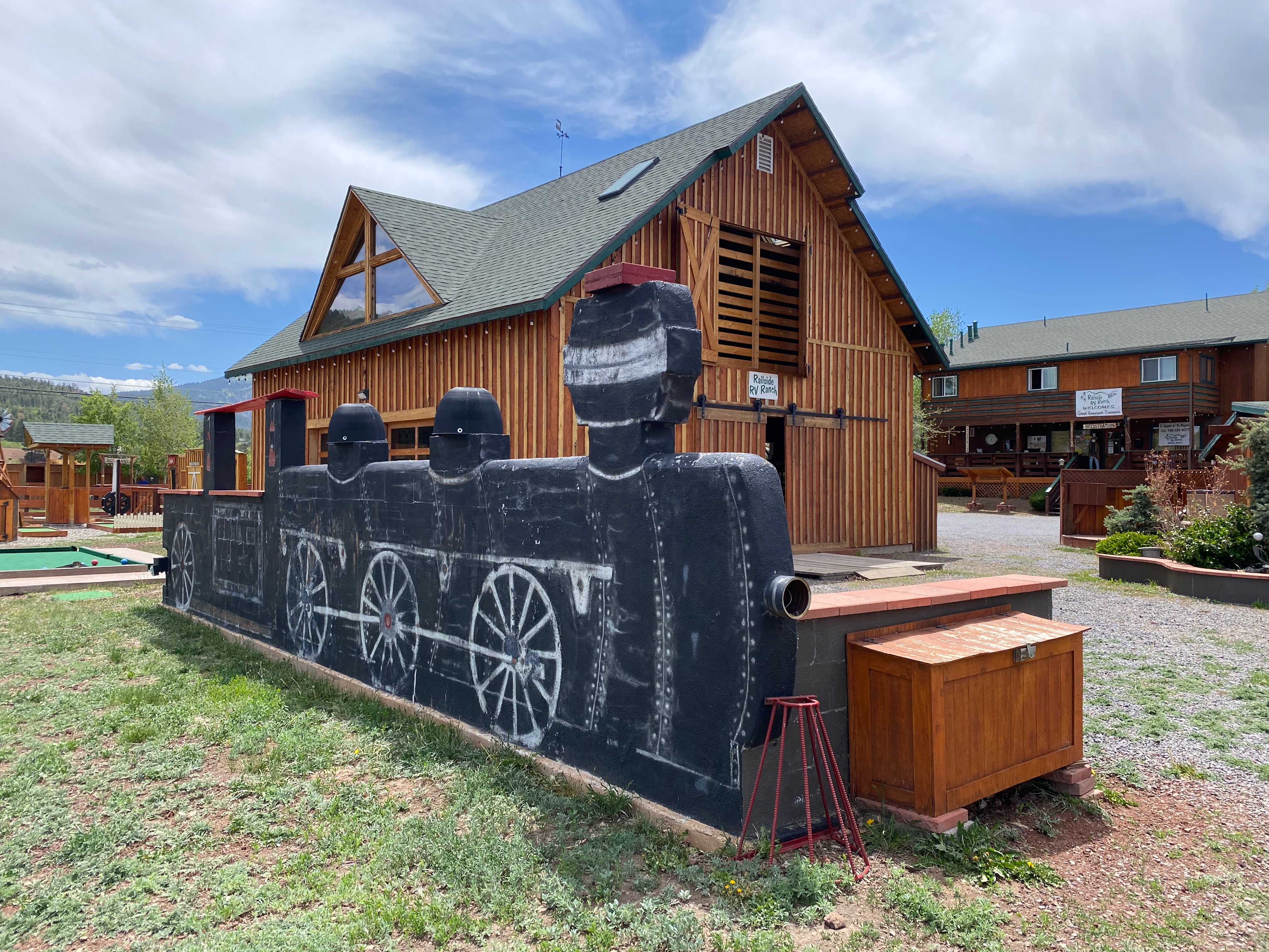
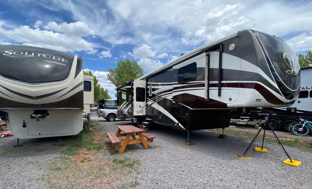
We chose Railside RV Ranch as our home base in Williams. The campground is adjacent to the tracks of the historic Grand Canyon Railway. Although all of the outdoor amenities were open, the office and indoor areas were closed due to Covid precautions. Under normal operation the campground offers a shuttle to the railway station. The sites are gravel with a bit of grass for living space. Unfortunately, we felt a bit shortchanged in our living space.
Due to the prevalence of Cottonwood Trees in the area and periodic strong winds, this was often the view out of our windows.
That’s not snow in the video above although it was cold enough some nights for snow. In fact our water hose froze one night when the temperature dipped to 22 degrees.
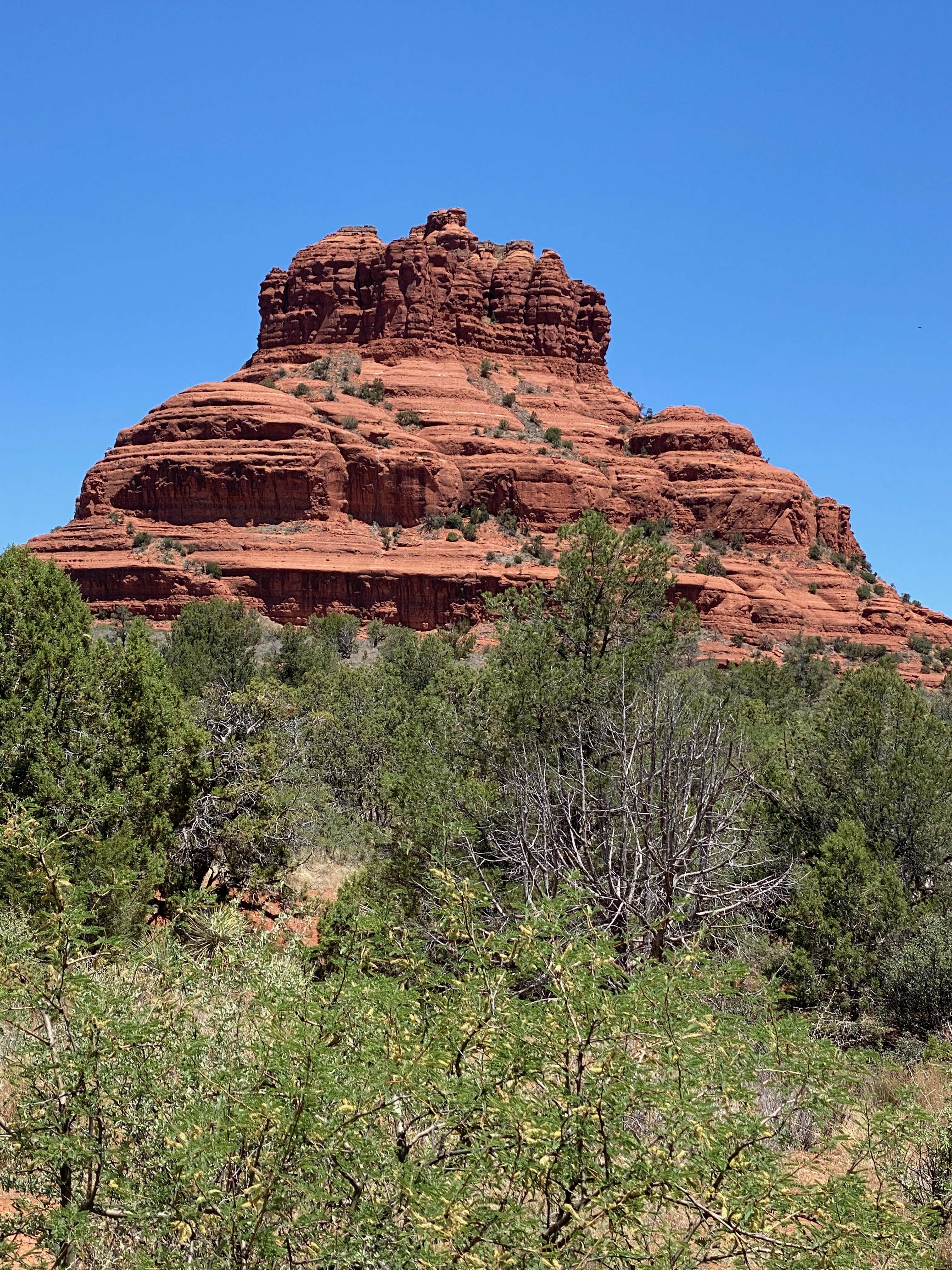
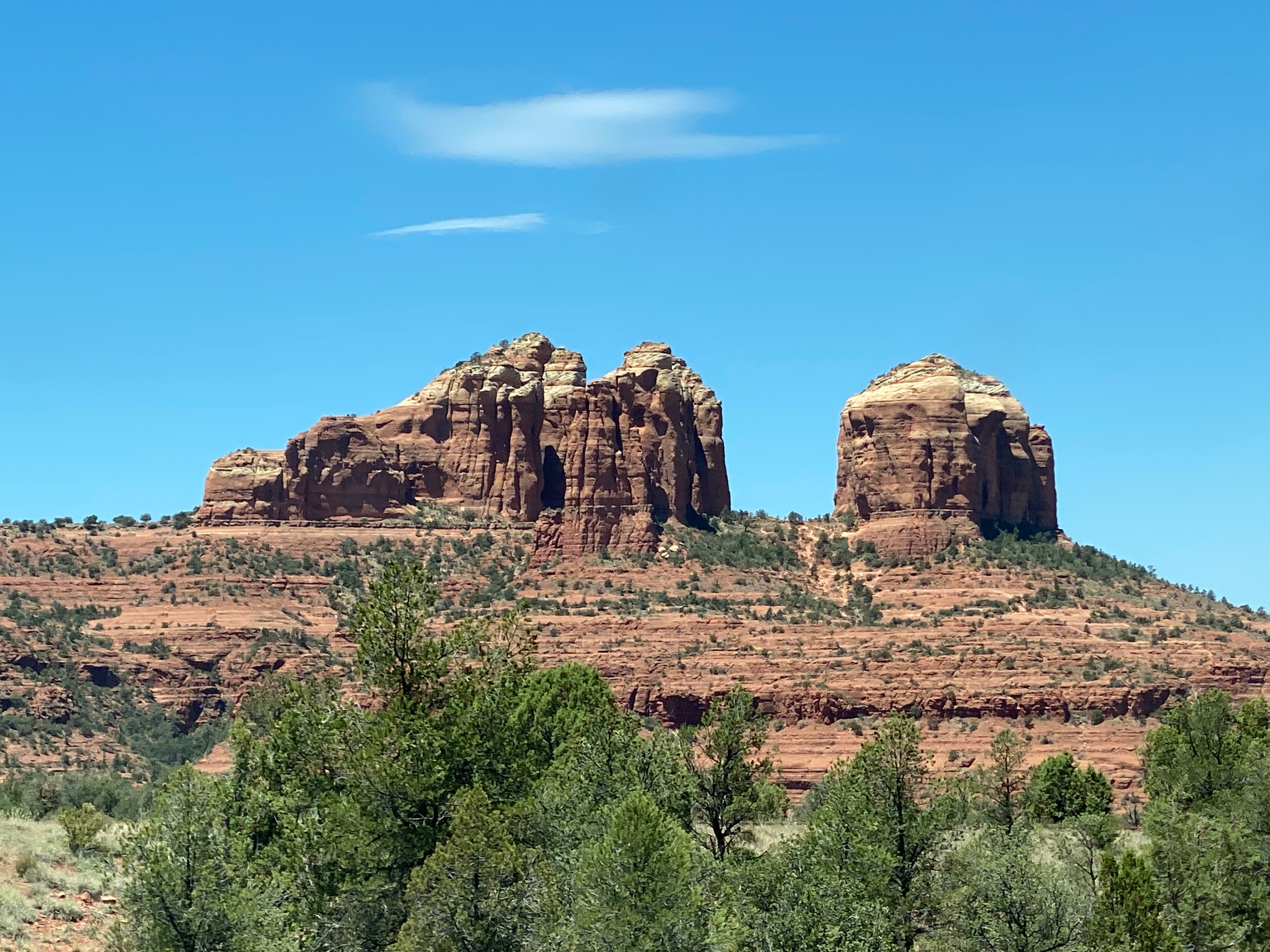
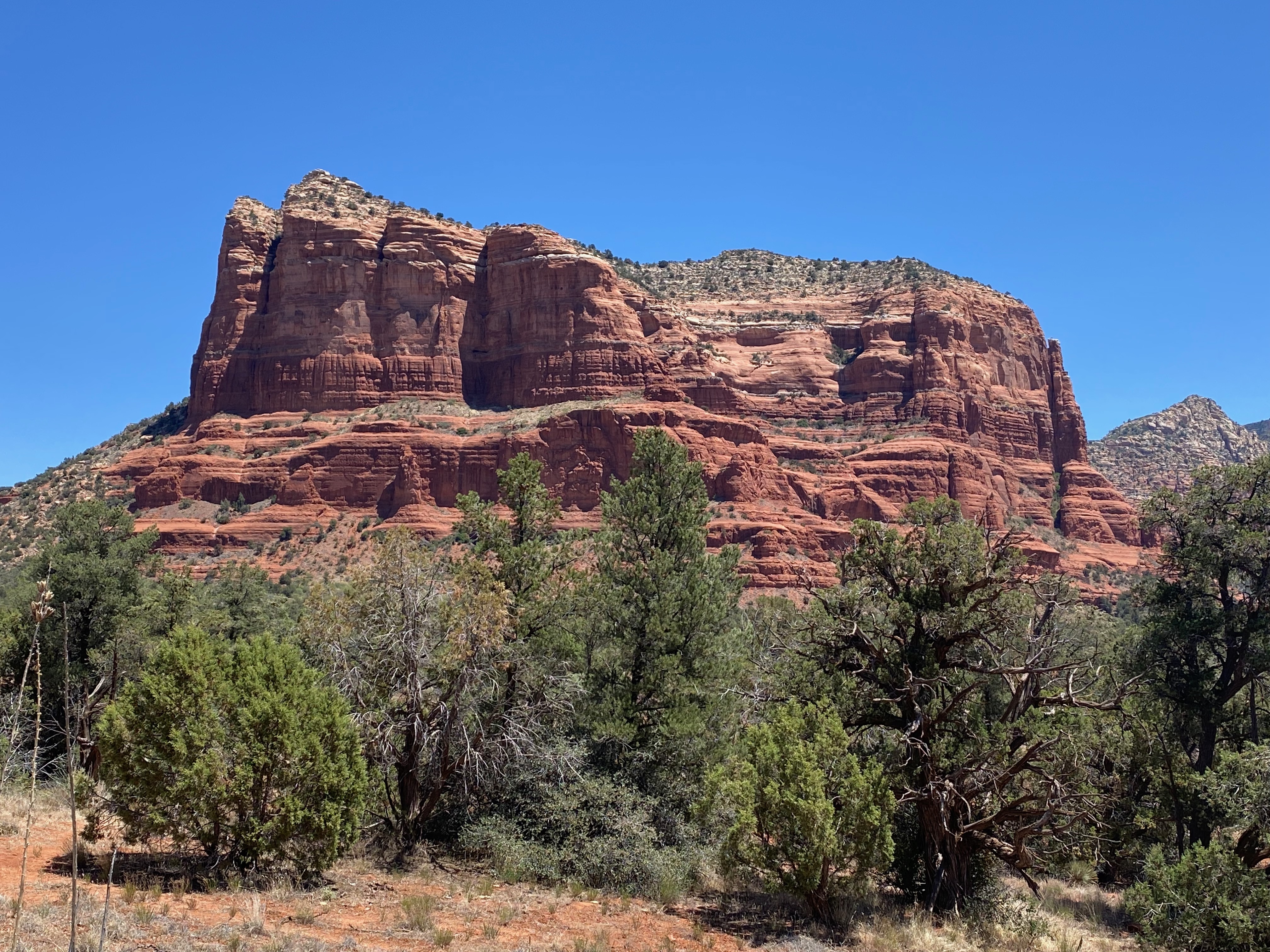
Red Rock Scenic Byway (SR 179)
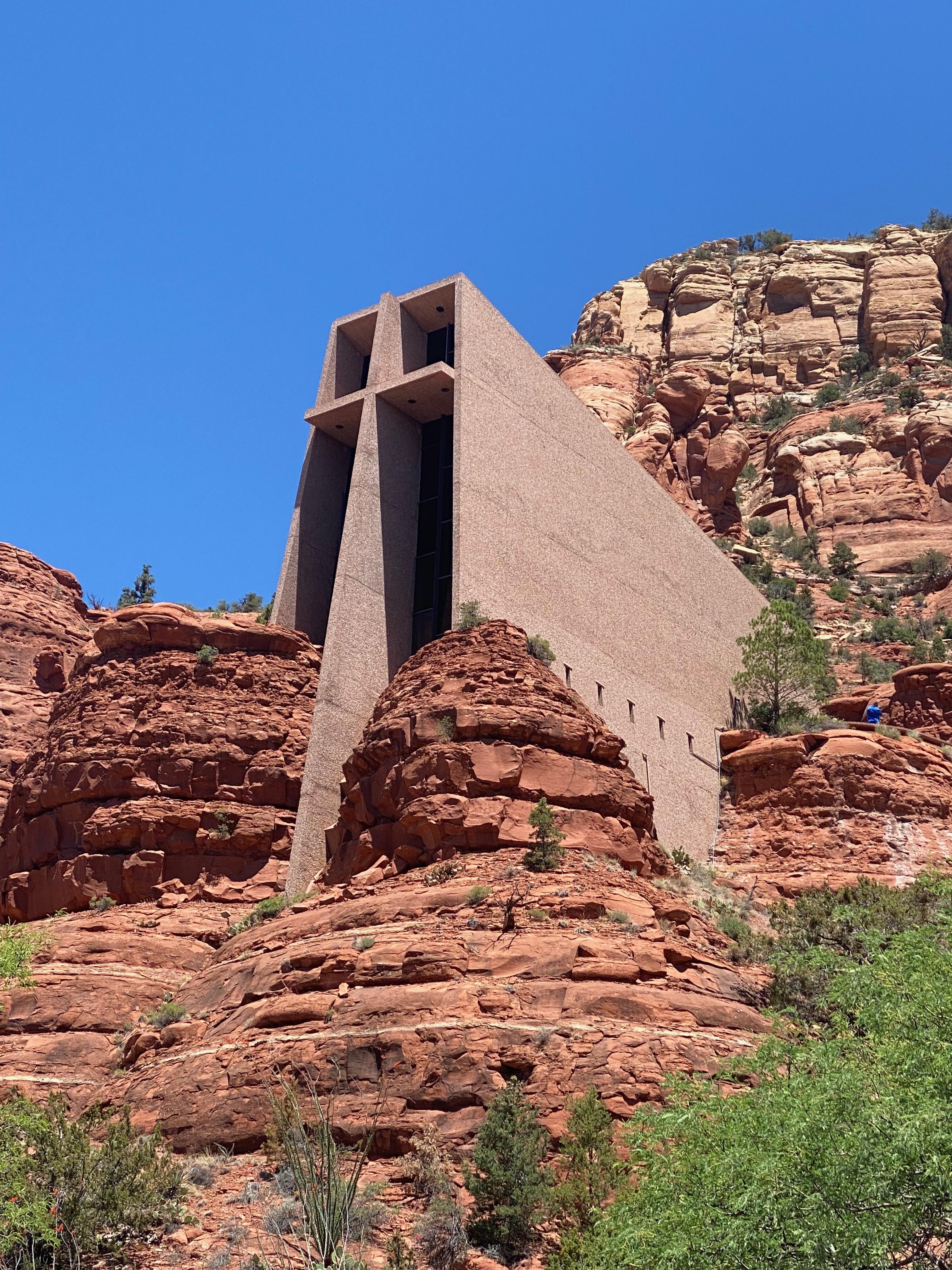
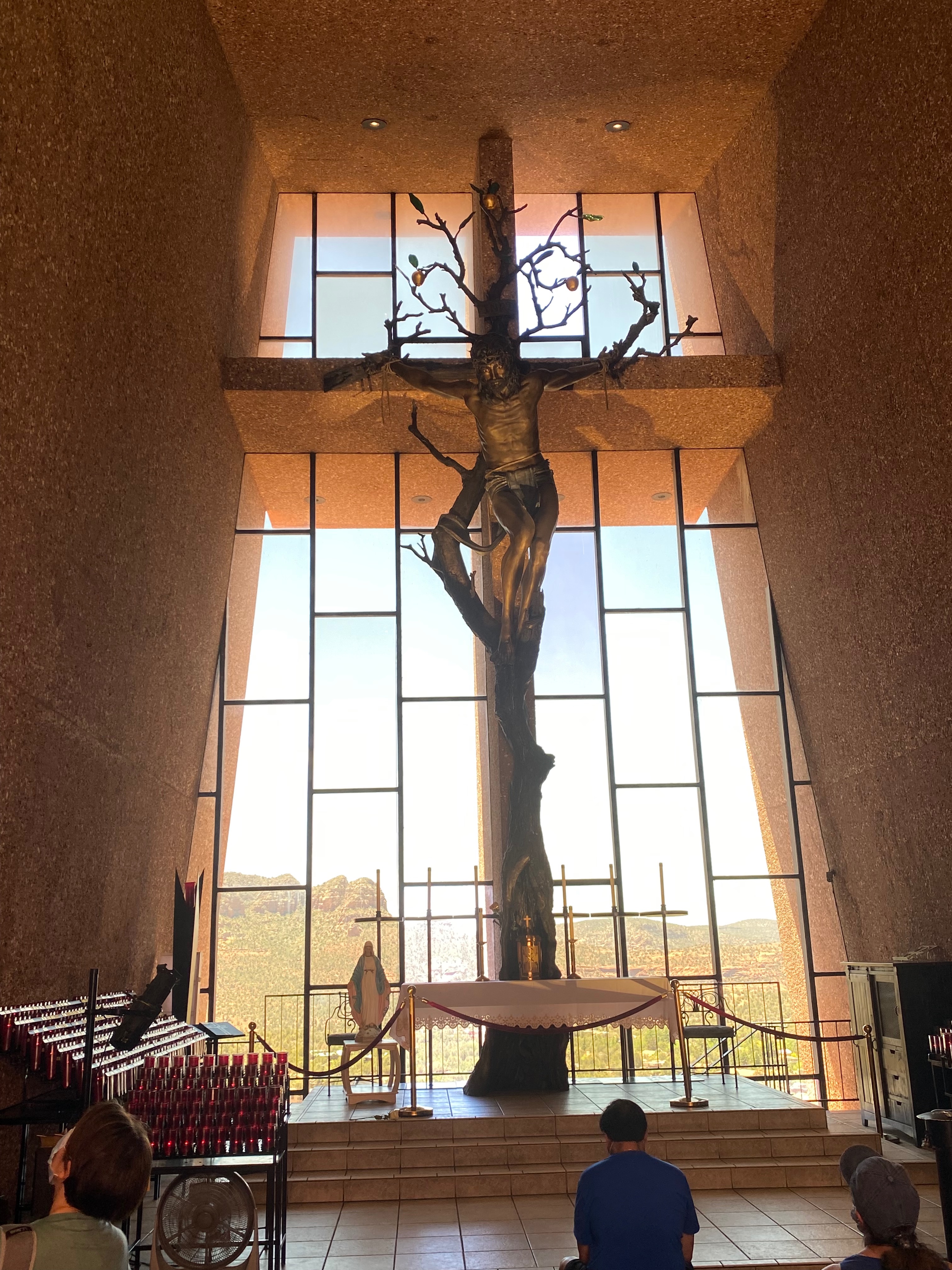
For our first adventure, we decided to drive the Red Rock Scenic Byway south of Sedona. We took I-40 to I-17 to SR 179 then drove north. We didn’t encounter too much traffic at first but that changed as we made our way north. We grabbed the first parking spot we found at the Chapel of the Holy Cross and hiked up to the chapel.
We had to select which scenic views to stop for based on parking availability as we continued on toward Sedona.
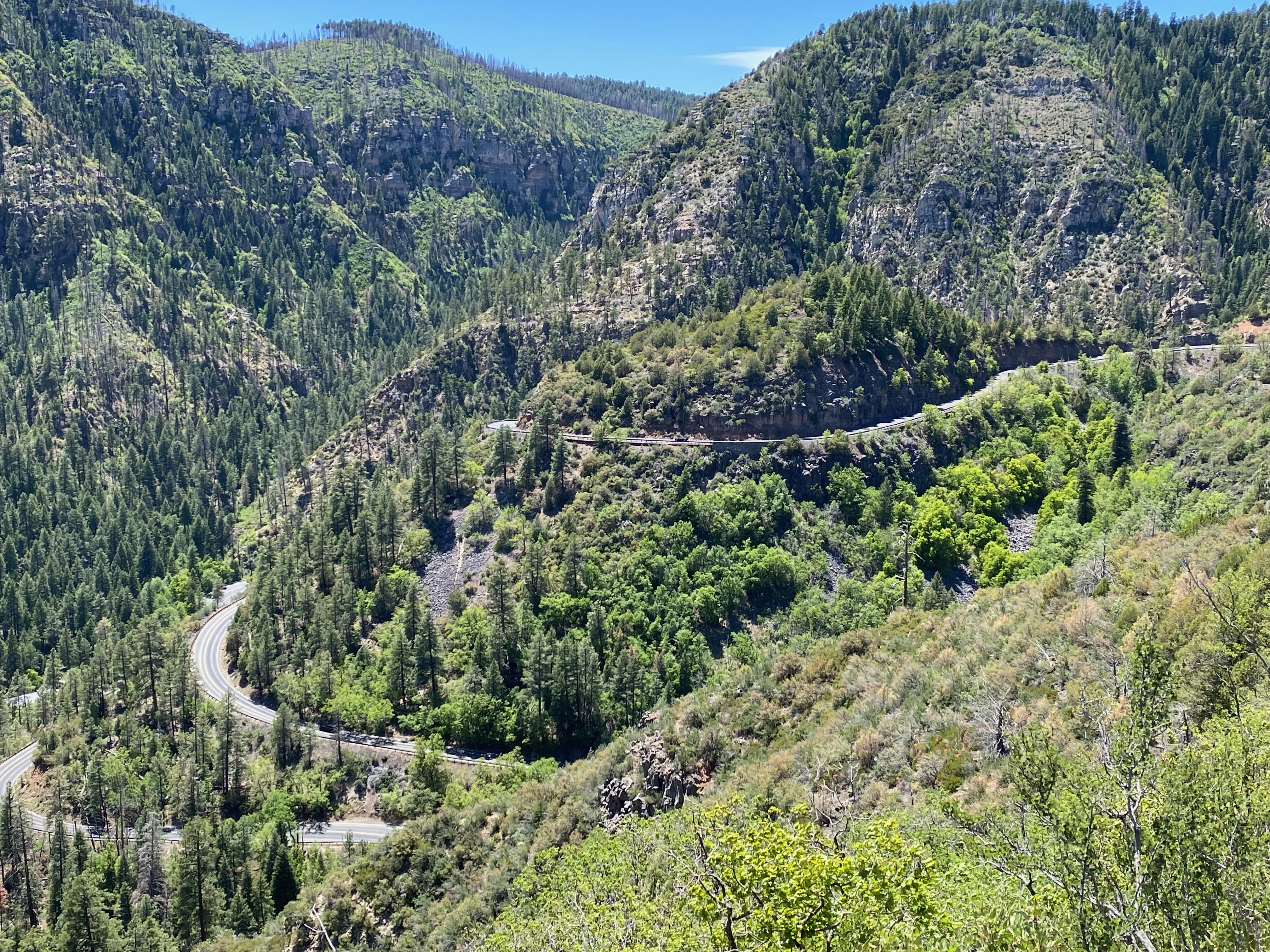
We had planned to stop in Sedona, walk through some of the shops and have lunch, but the public parking lots were full. Instead, we decided to continue driving north on SR 89A – a twisty mountain forest road – which we actually liked better than the crowded SR 179. We ended up having a delightful lunch in Flagstaff.
Grand Canyon
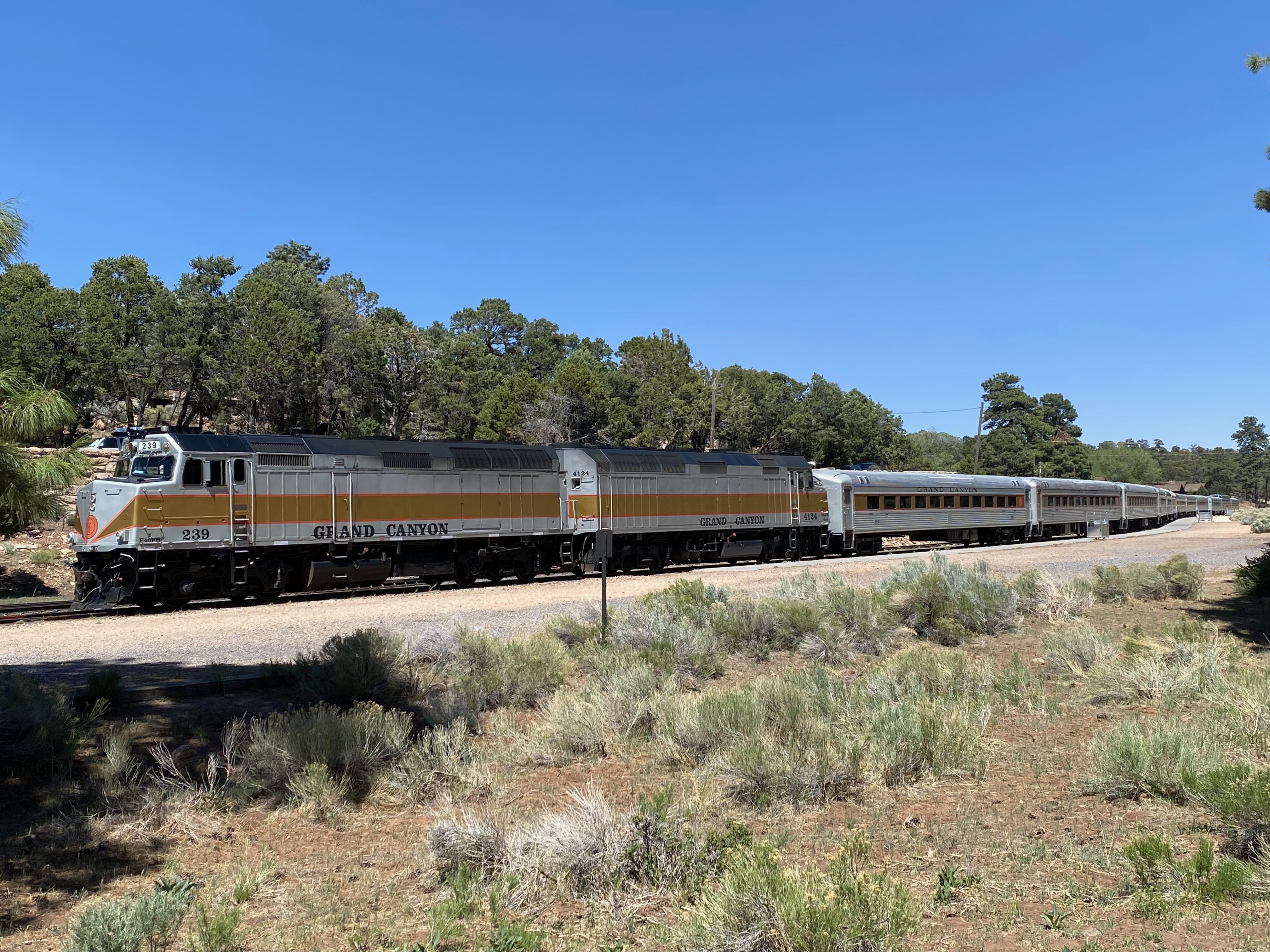
Several weeks prior to our visit here we made reservations for the Grand Canyon Railway round trip from Williams to the South Rim of the Grand Canyon. At the time we were only able to get Coach Class tickets and subsequent attempts to upgrade were unsuccessful.
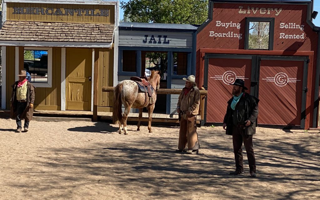
On the day of our reservation, we arrived at the Williams Depot about 8:30 a.m. to pick up our tickets. We wandered around the gift shop until it was time to watch the Cataract Creek Gang square off with the Marshall in the area beside the depot.
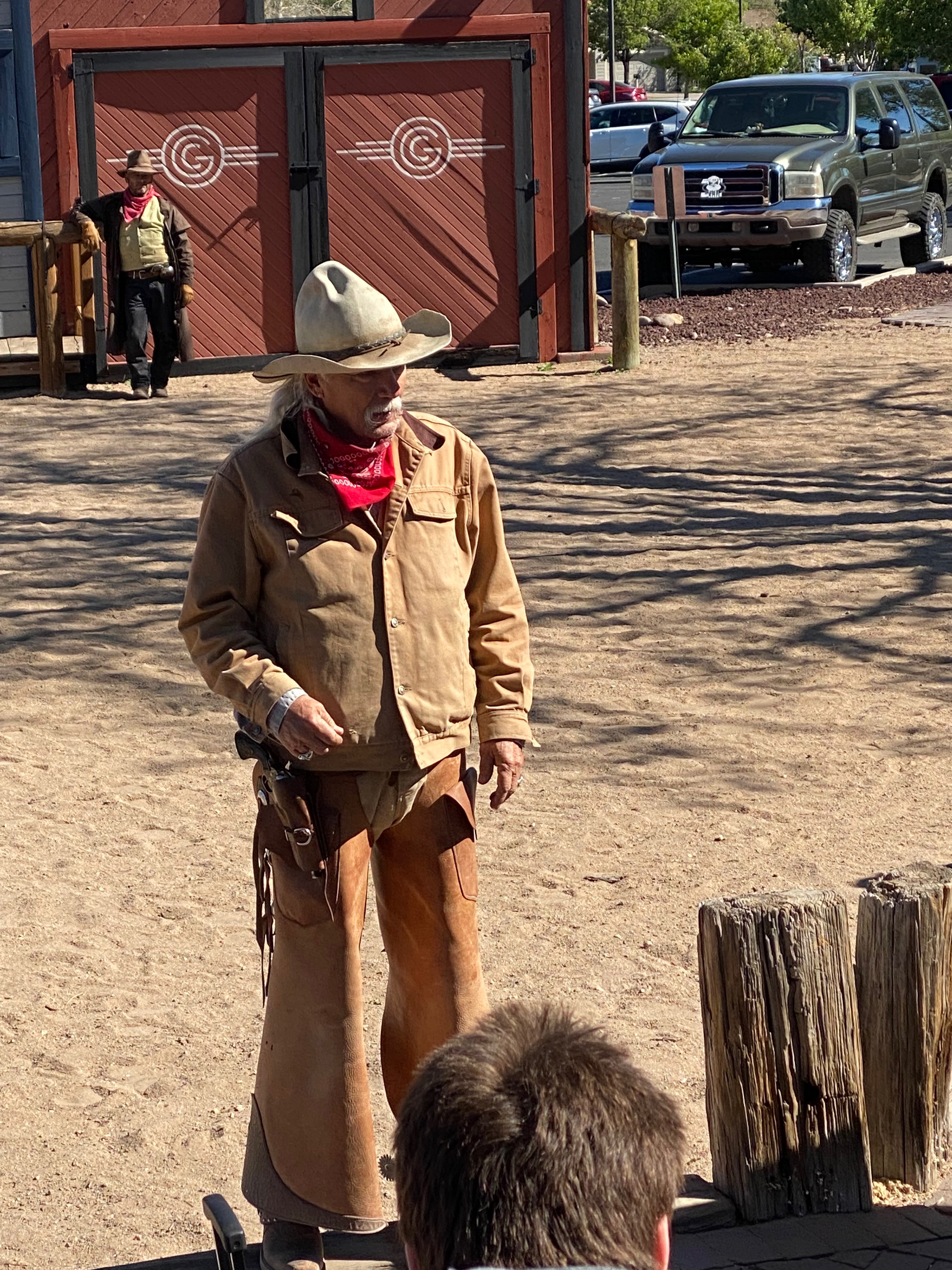
Then it was time to board the train. We discovered that Coach Class wasn’t bad as the school bus type seats were well padded and every other row was empty due to social distancing. Our car was the first one behind the engine. Food was available several cars back in the Snack Car. Although there was not much to see along the way, we were entertained by some singing cowboys and the 2 1/2 hour ride went by quickly.
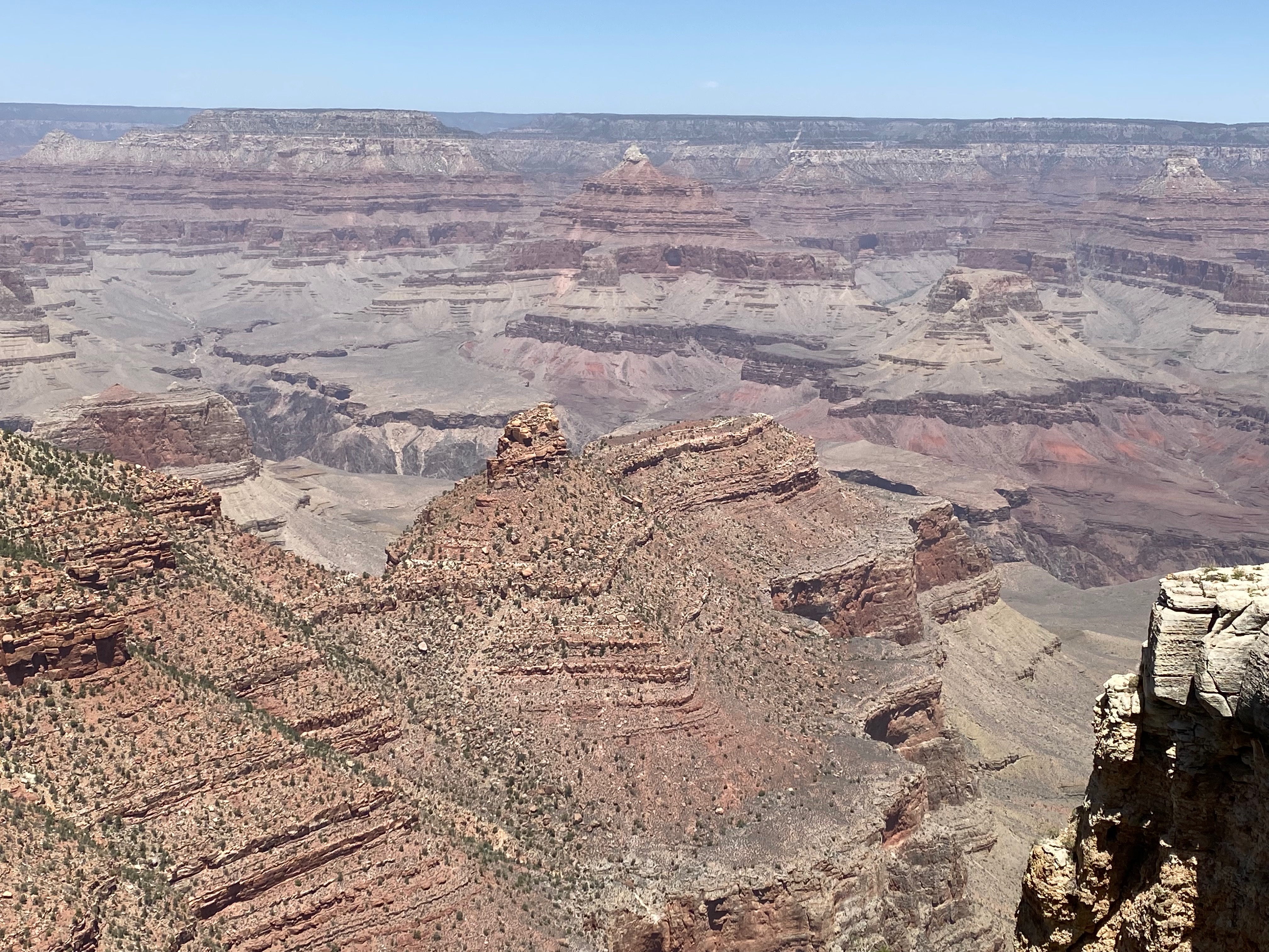
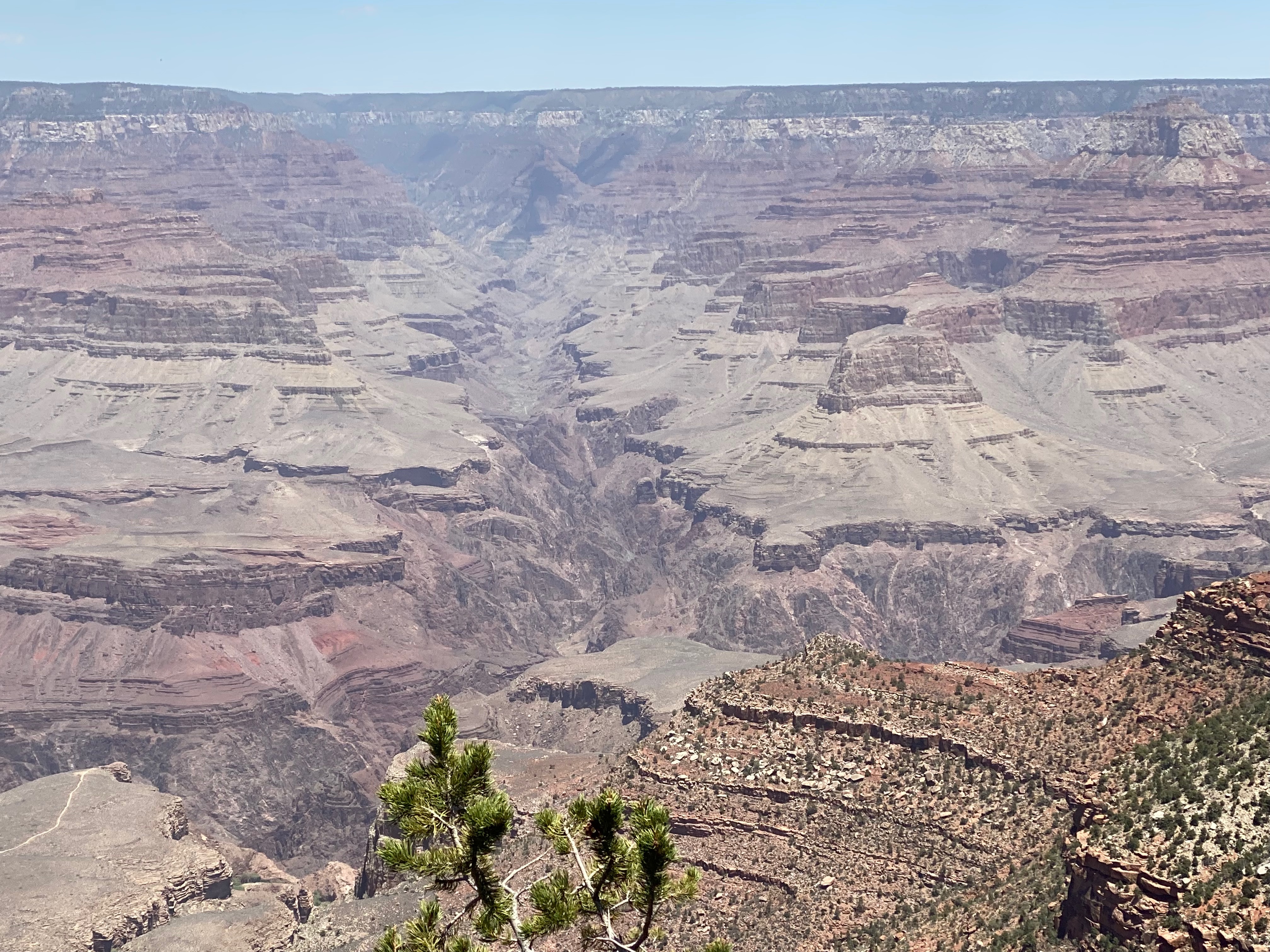
Once we disembarked at the Grand Canyon Depot, we had about 3 hours to explore. The day was chilly with a roaring wind but we still enjoyed the view. It is amazing how much steeper the South Rim is compared to the North Rim even though the North Rim is 1000 feet higher in elevation.
After walking a portion of the Rim Trail we decided it was time for lunch. Due to Covid restrictions several of the food outlets were closed, required reservations, or very busy. We decided to try the food court at the Maswik Lodge so we walked down there only to find the food court closed with one counter offering a limited selection. Oh well, at least we were inside, out of the wind and could sit for a while.
On the train ride back they staged a “train robbery.” Unfortunately it was too windy to ride the horses up to the train so the conductor actually stopped the train to let the “robbers” onboard.
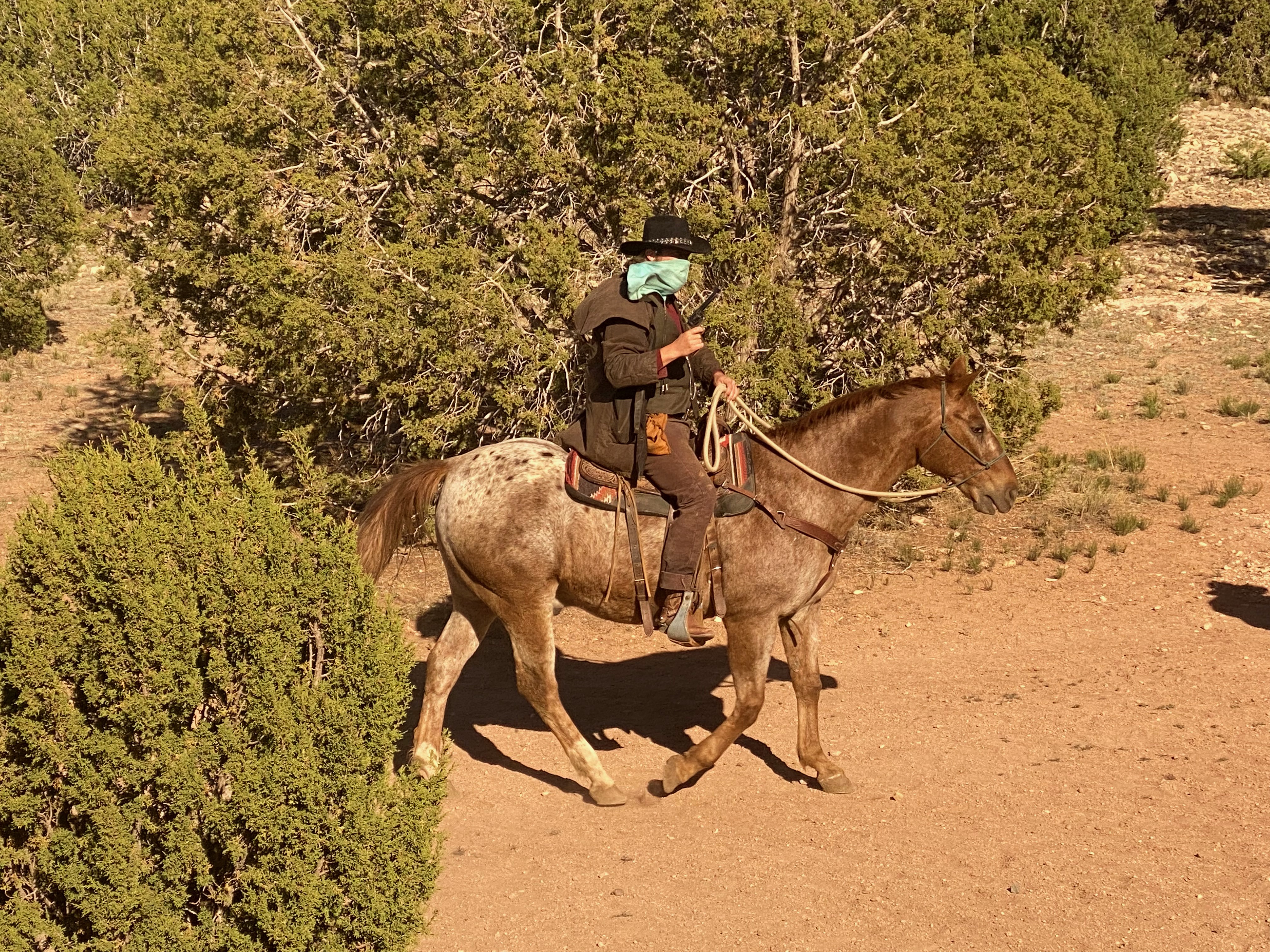
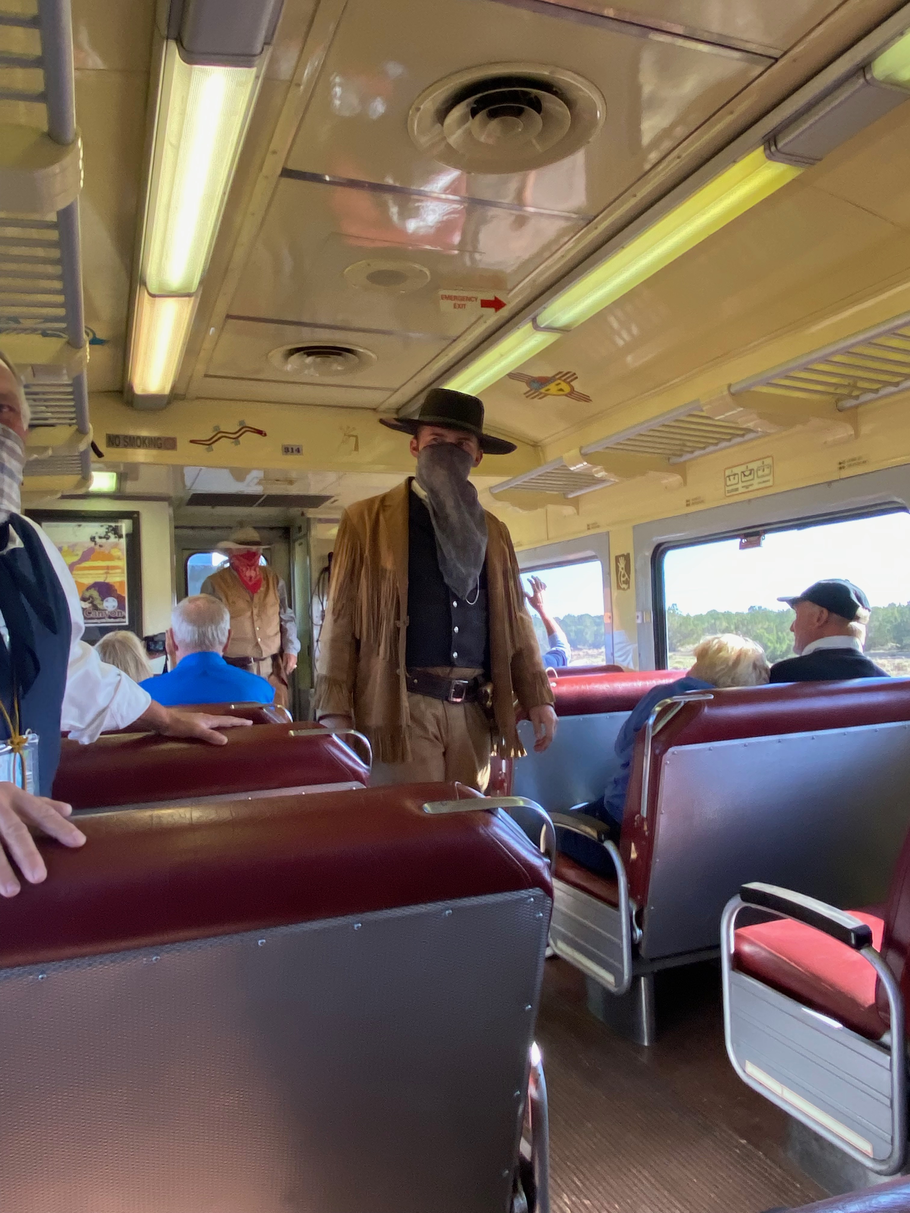
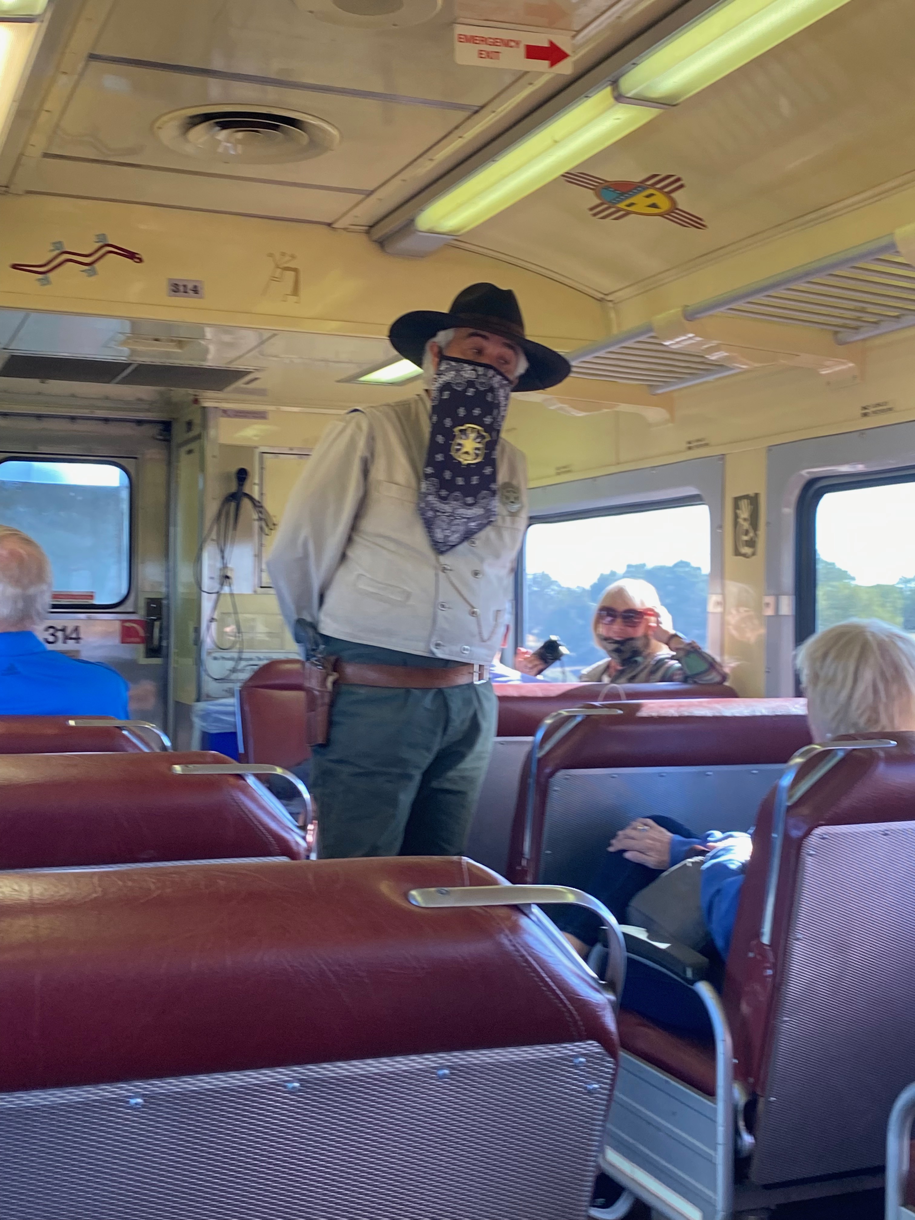
Thanks to the Marshall we were able to make it back to Williams with our valuables intact.
Flagstaff
A couple of days later we decided to head east on I-40 and visit three National Monuments near Flagstaff.
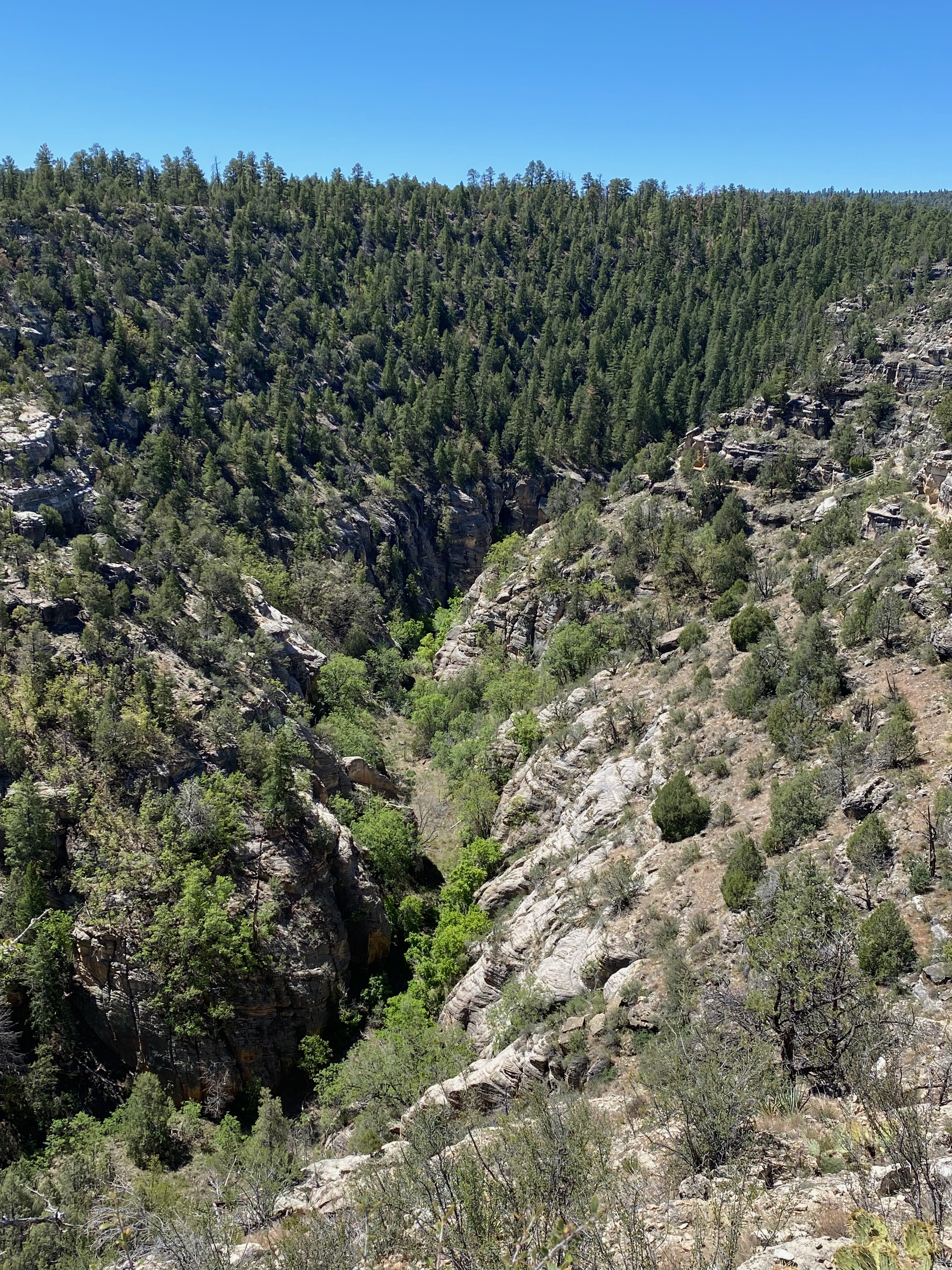
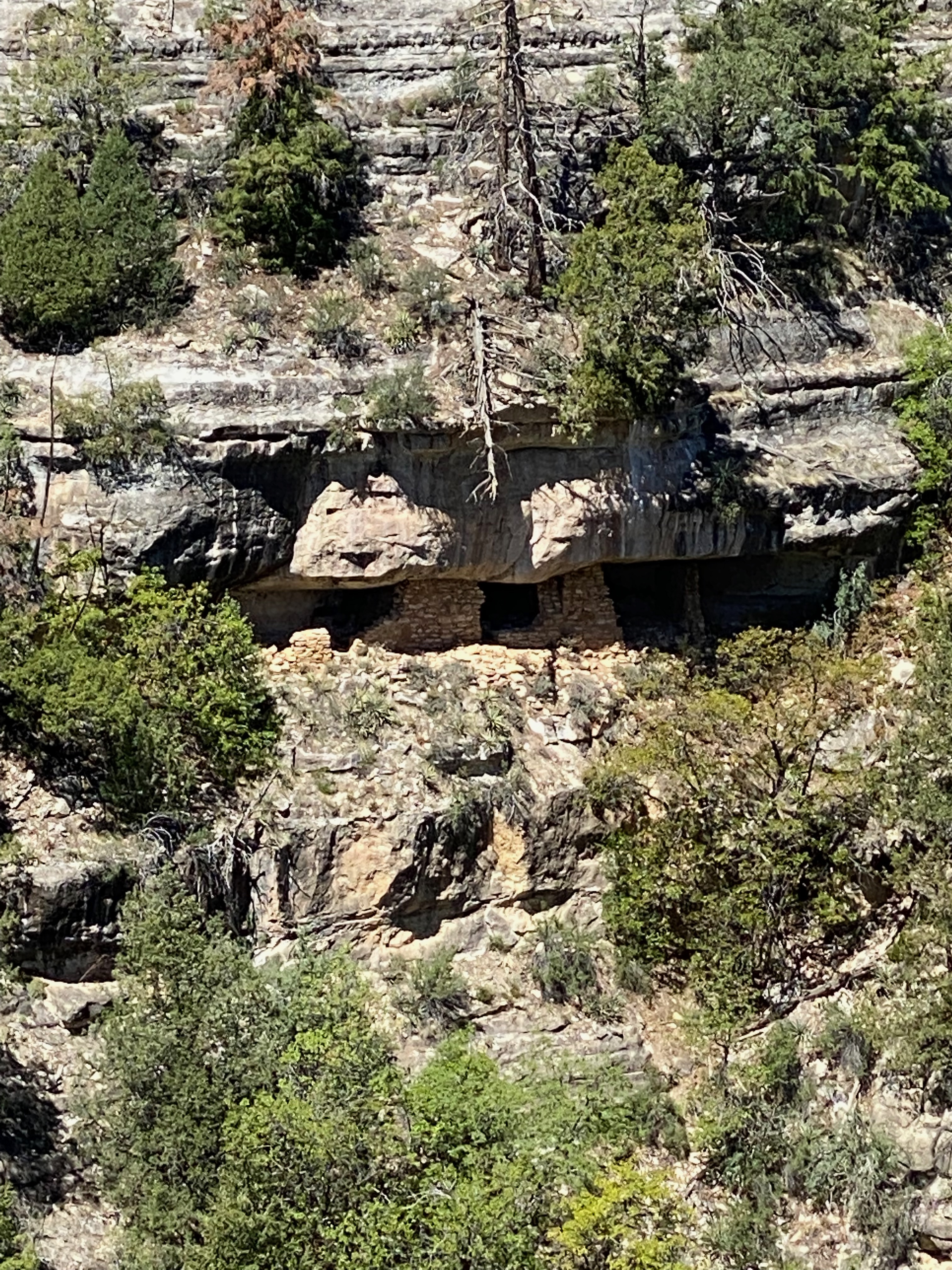
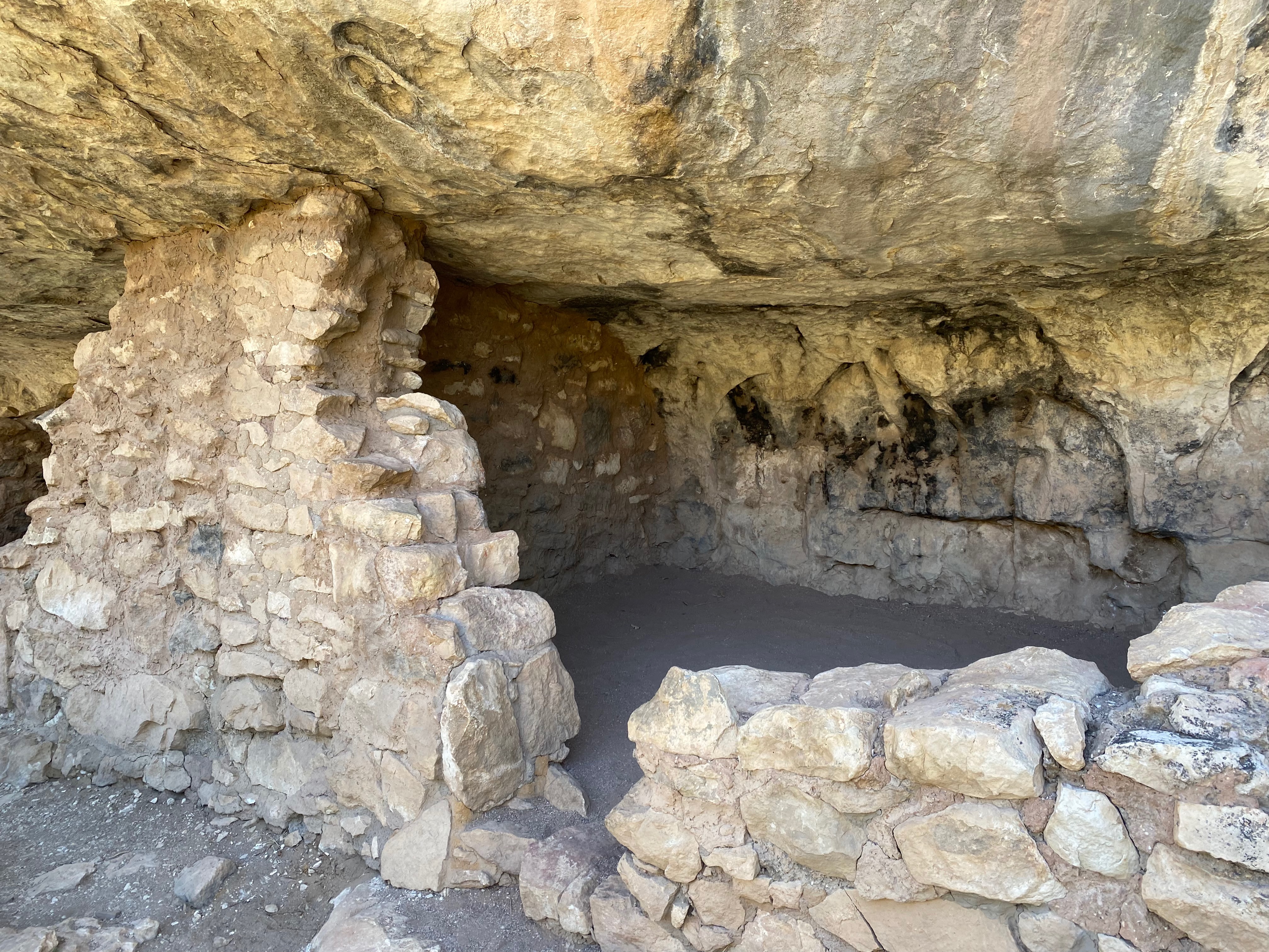
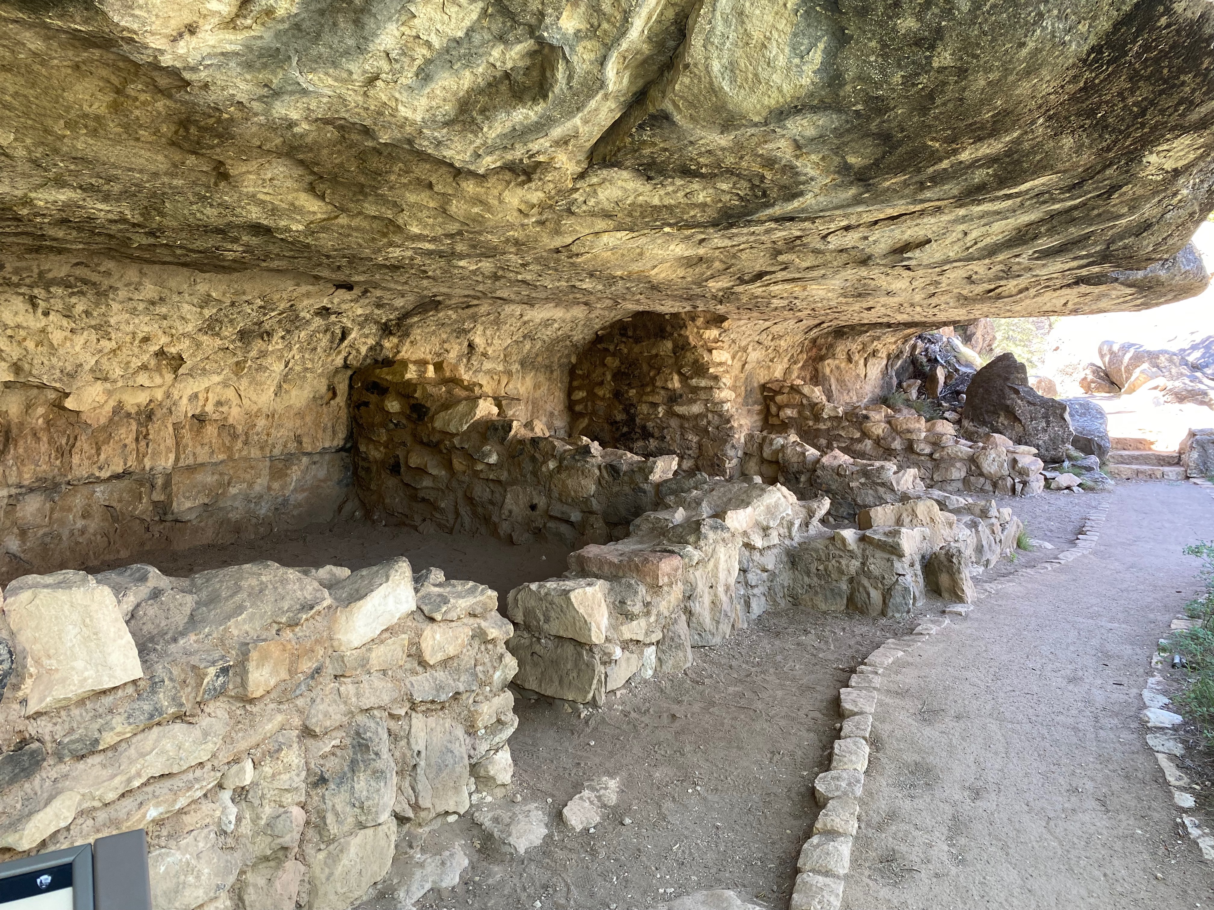
Walnut Canyon National Monument
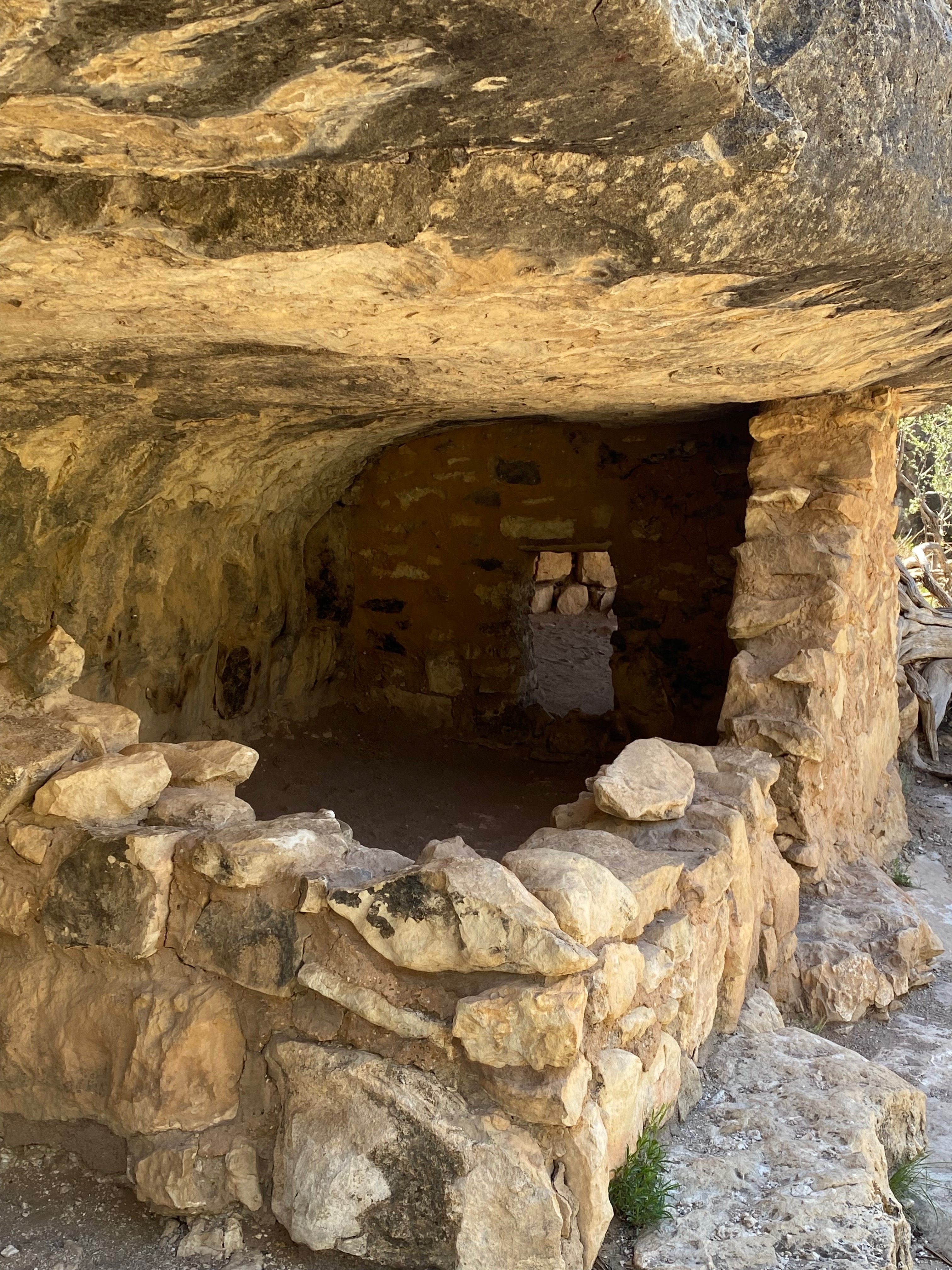
Walnut Canyon National Monument is easily reached from Flagstaff, being just 7 miles east along I-40 and another 3 miles south on a spur road starting at exit 204. The park has a good visitor center with a small museum; the building is perched on the cliff edge and enjoys panoramic views east and west. Many of the ancient dwellings were built around a U-shaped meander in the canyon, where the creek circles around three sides of a high rocky plateau, almost creating an ‘island’, and this region now forms the central attraction of the national monument. There are many other ruins in the 20 by 10 mile area but none are accessible to the public. The dramatic location of the buildings and their good state of preservation makes Walnut Canyon perhaps the most interesting of the NPS historical sites in Arizona to explore.
Two footpaths allow for a closer look at the Walnut Canyon ruins; the least exciting is the 0.7 mile Rim Trail, which traverses flat land along the canyon rim and ends at a viewpoint on the edge, from where the island can be seen to the west. A branch of the path passes a few scattered ruins including a restored pit house, protected beneath an oversized wooden canopy, and the walls from a two-room pueblo dwelling. Better and much more popular, although slightly more strenuous, is the 0.9 mile Island Trail, a loop path that descends steeply (by 185 feet) via a series of 240 steps, then circles the island.
americansouthwest.net
We took the Island Trail which provided great views of the canyon and the ancient dwellings not to mention a high-elevation (7000 feet) work-out – 240 steps down, 240 steps up.
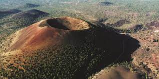
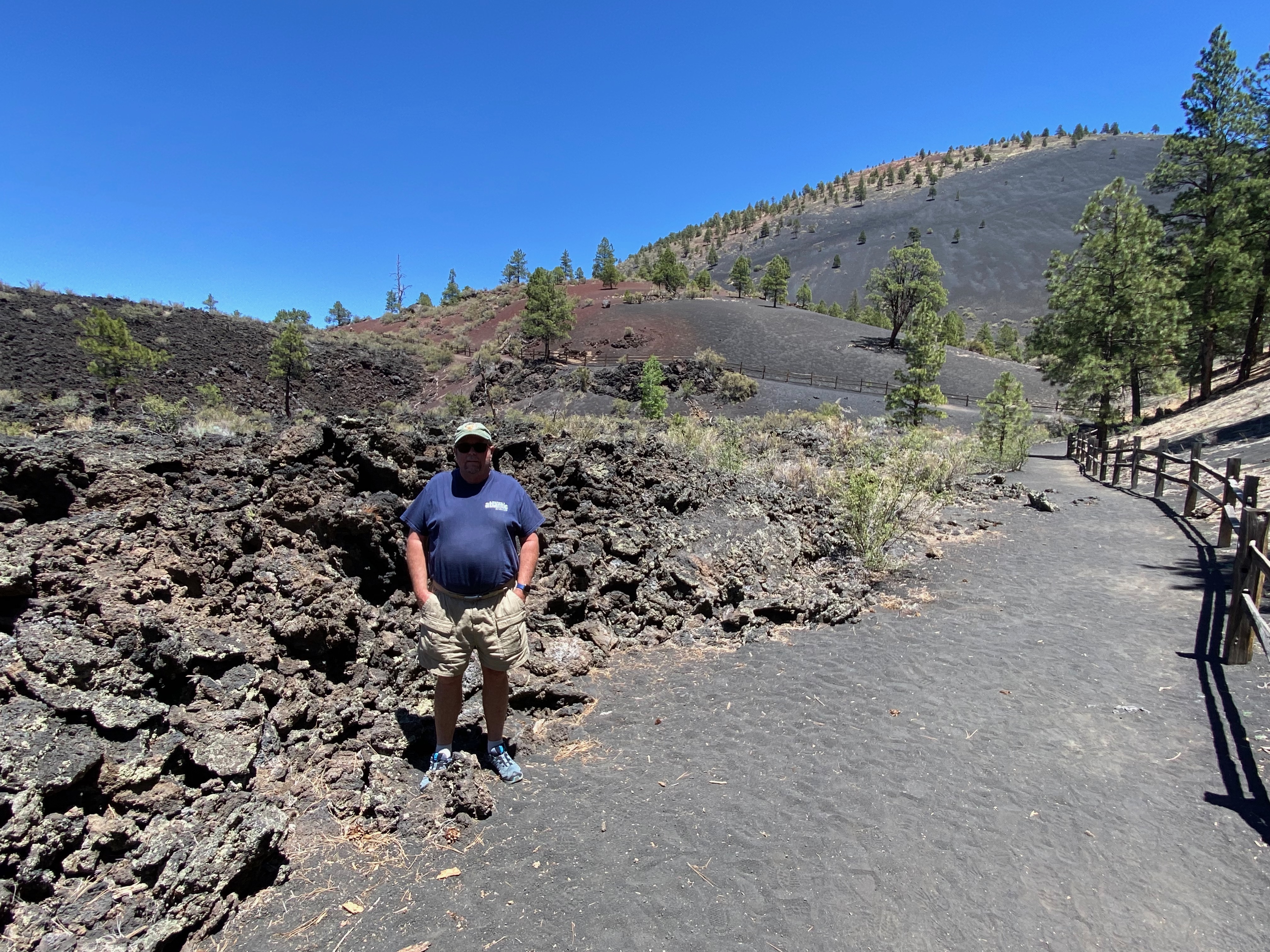
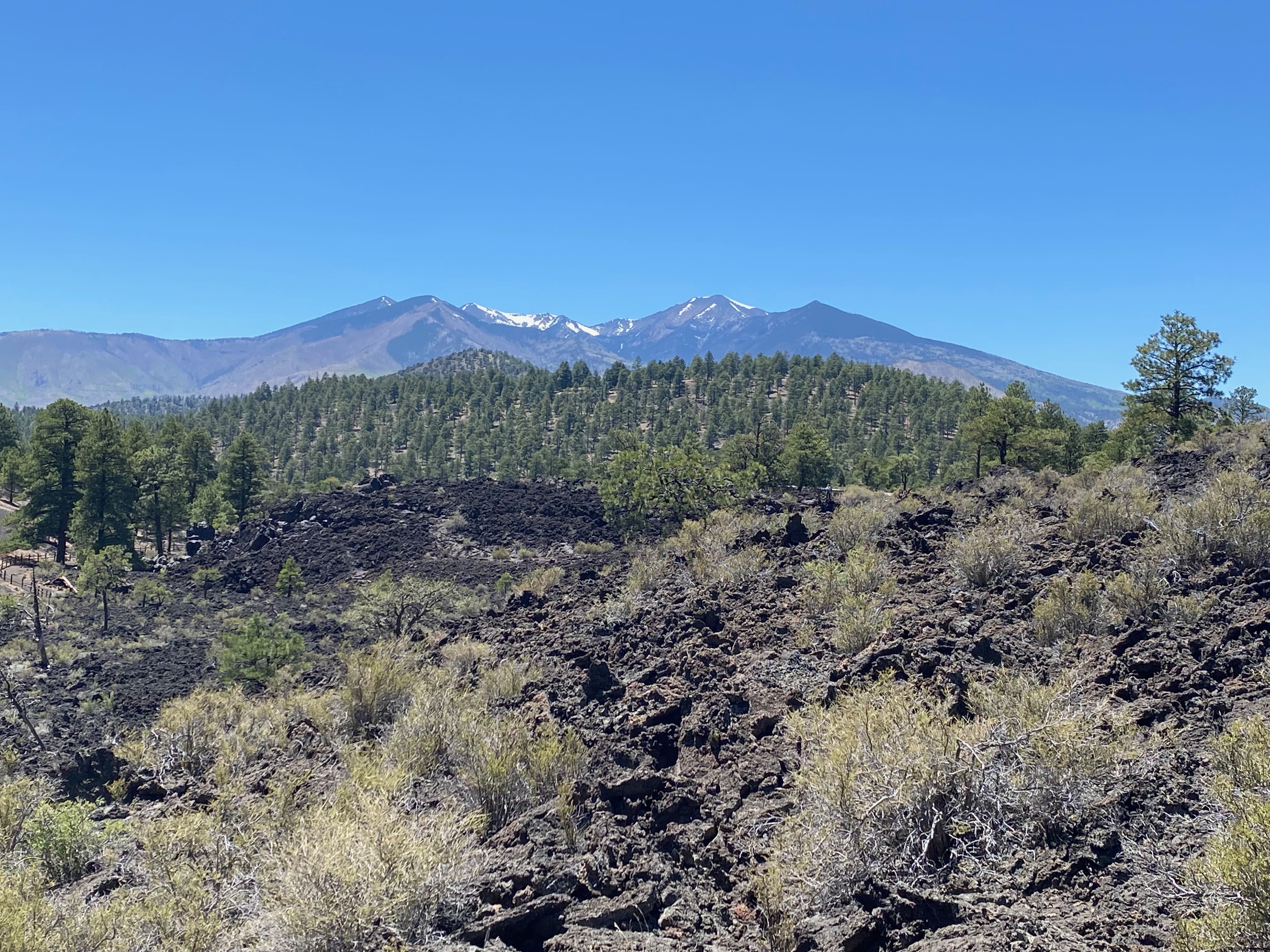
Sunset Crater Volcano National Monument
From Walnut Canyon we headed north to Sunset Crater Volcano National Monument located off US-89 16 miles north of Flagstaff.
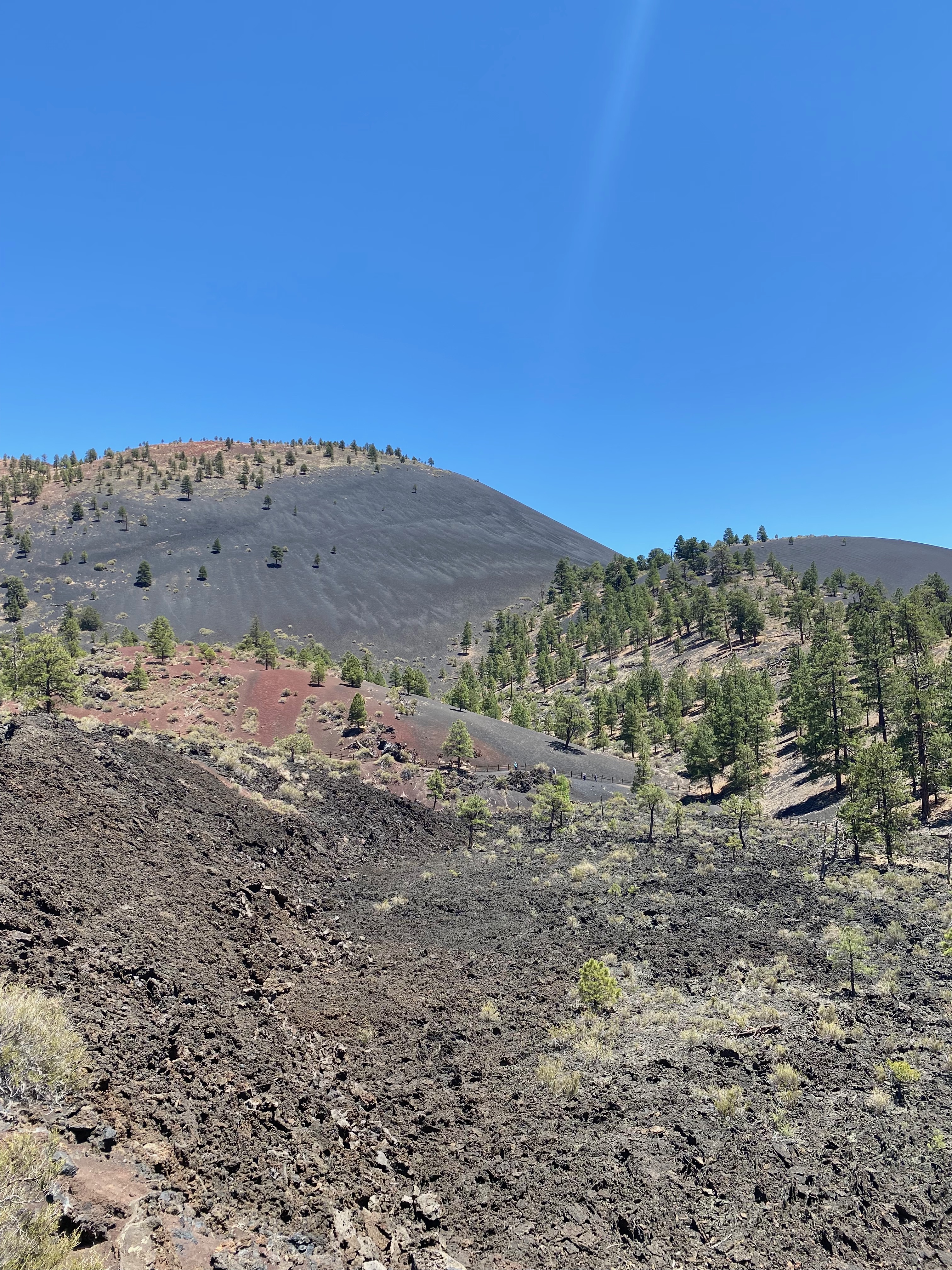
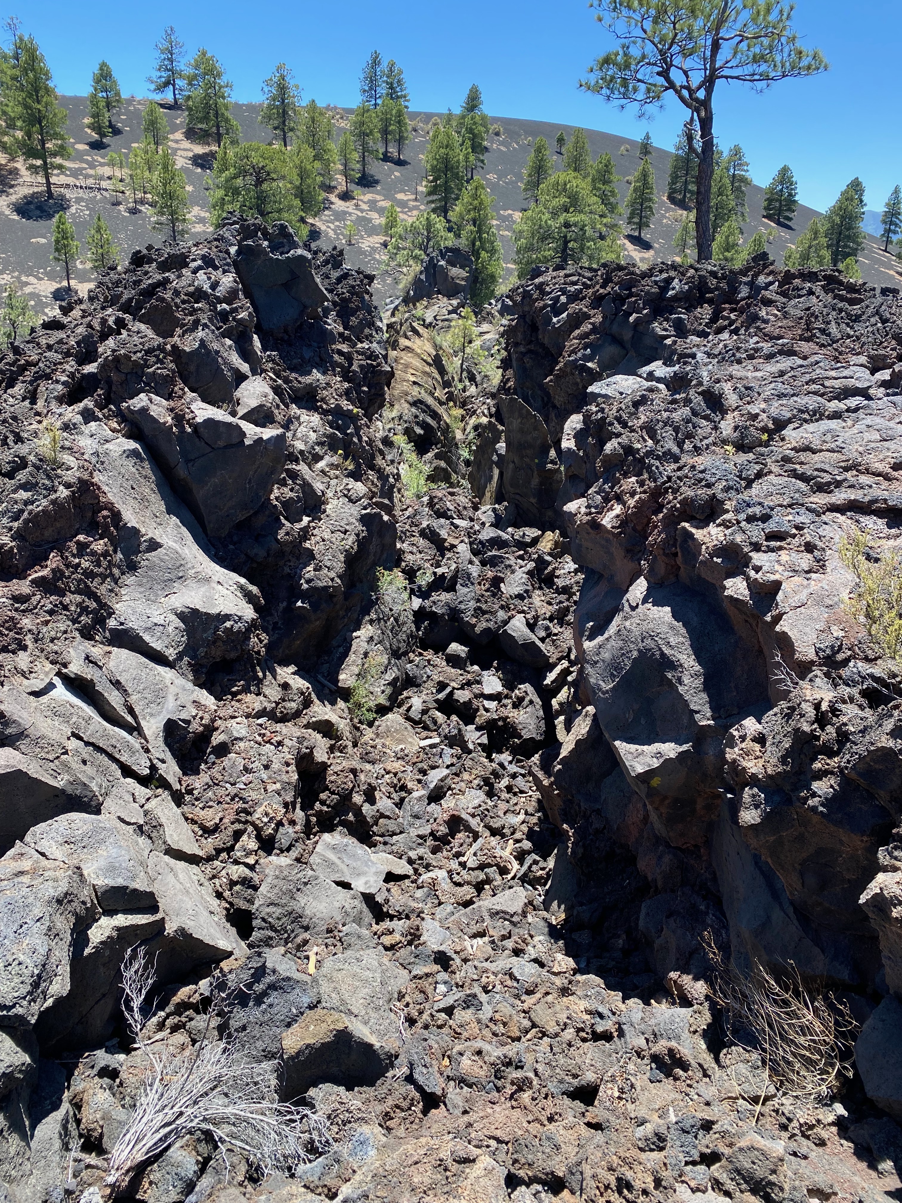
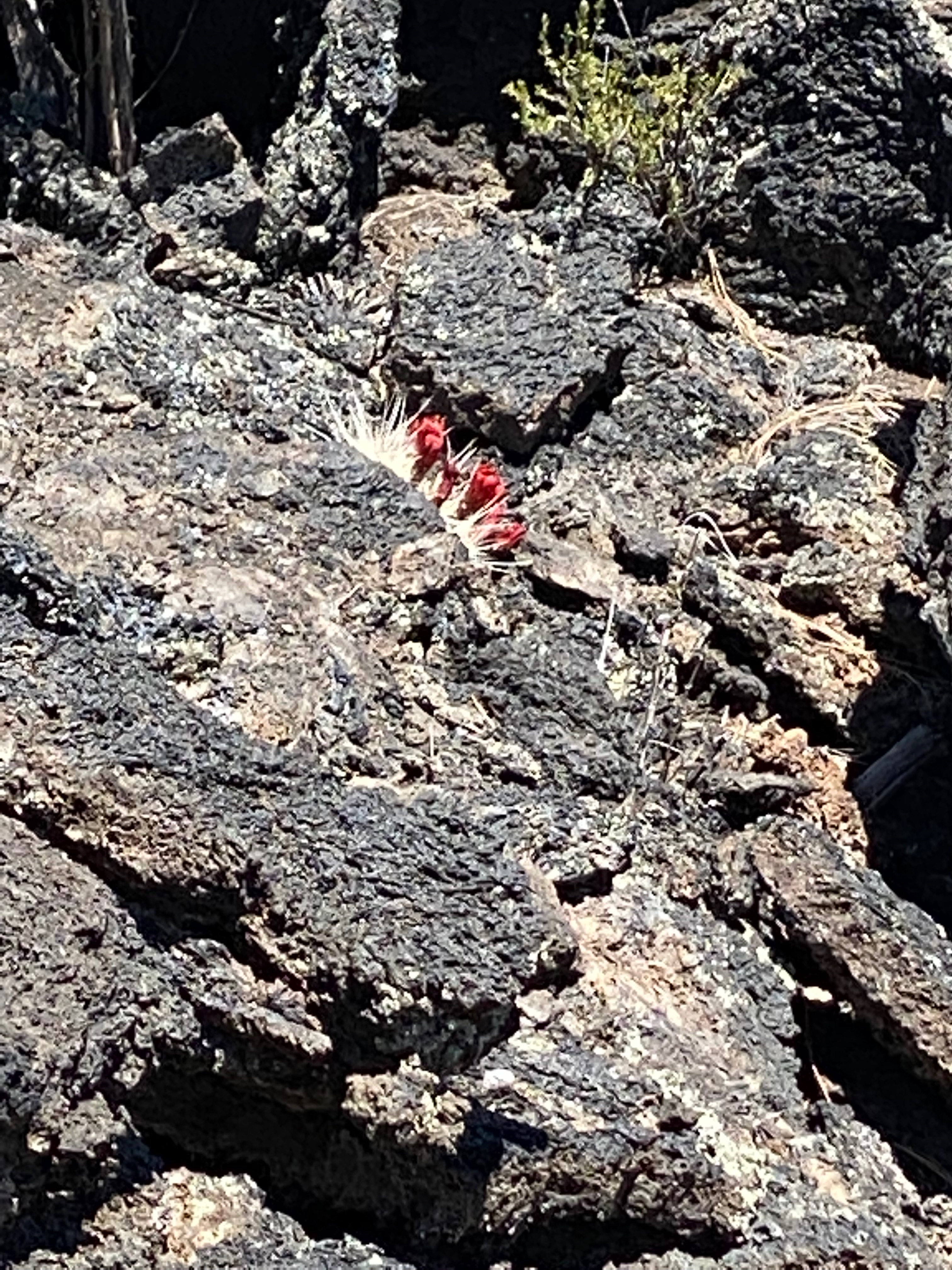
Sunset Crater Volcano National Monument is the slightly tautological name given to an area northeast of Flagstaff containing the results of much igneous activity – several colorful cinder cones formed by extinct volcanoes, and large expanses of lava and ash, mostly unobscured by vegetation and still pure black in color. The dominant peak is Sunset Crater; as with the other cones its slopes have distinctive dusky red-brown patches formed by oxidised iron and sulphur, which caused John Wesley Powell, who was the first modern-day explorer of the area in 1887, to name the mountain ‘Sunset Peak’.
The contrasting colors of the cinders provide the most unusual aspect of the national monument but the jagged and twisted lava fields are also quite spectacular. Sunset and the neighboring craters are just one small part of the San Francisco volcanic field, an extensive region of nearly 2,000 square miles that contains some 600 identified volcanoes.
americansouthwest.net
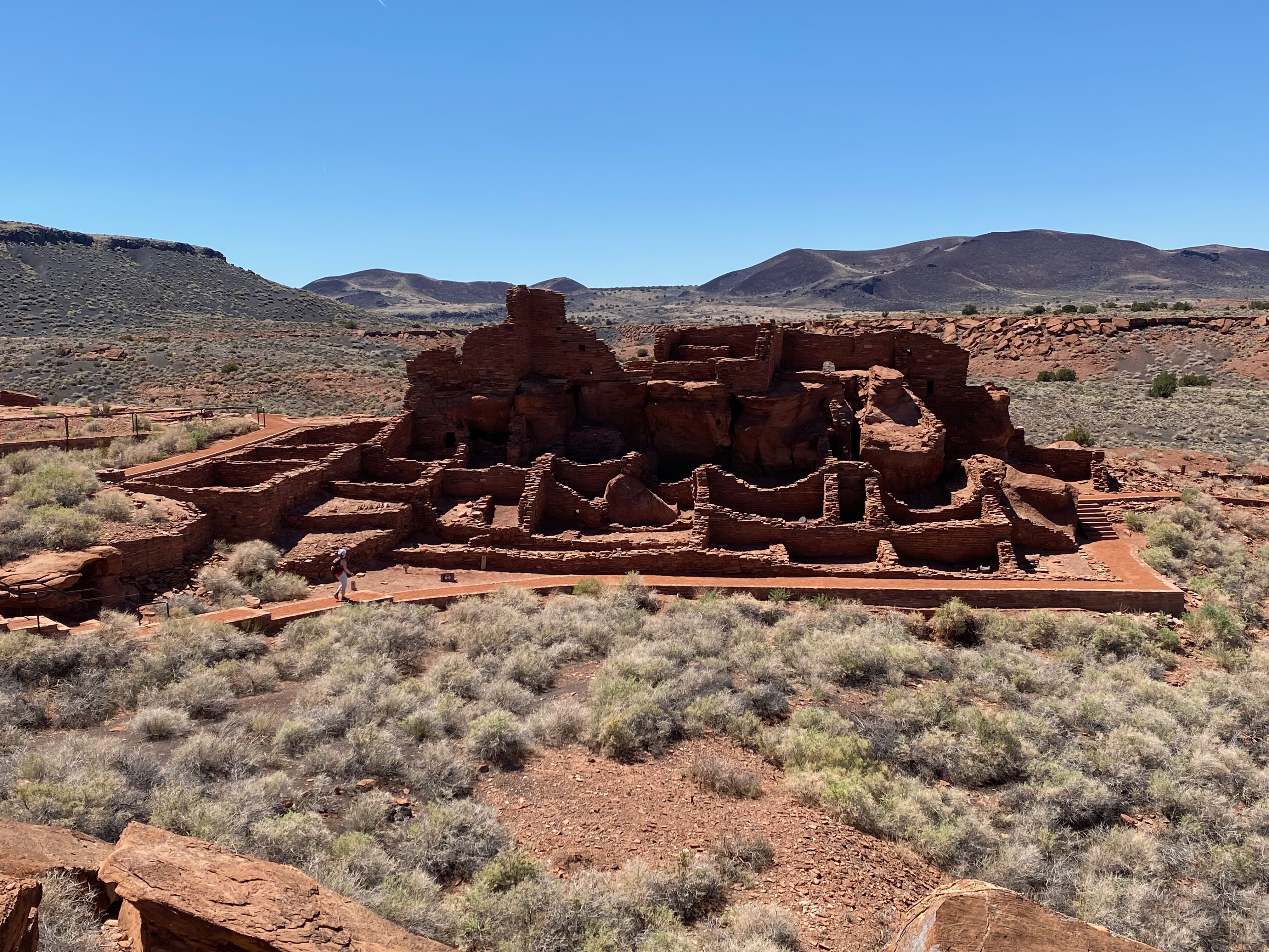
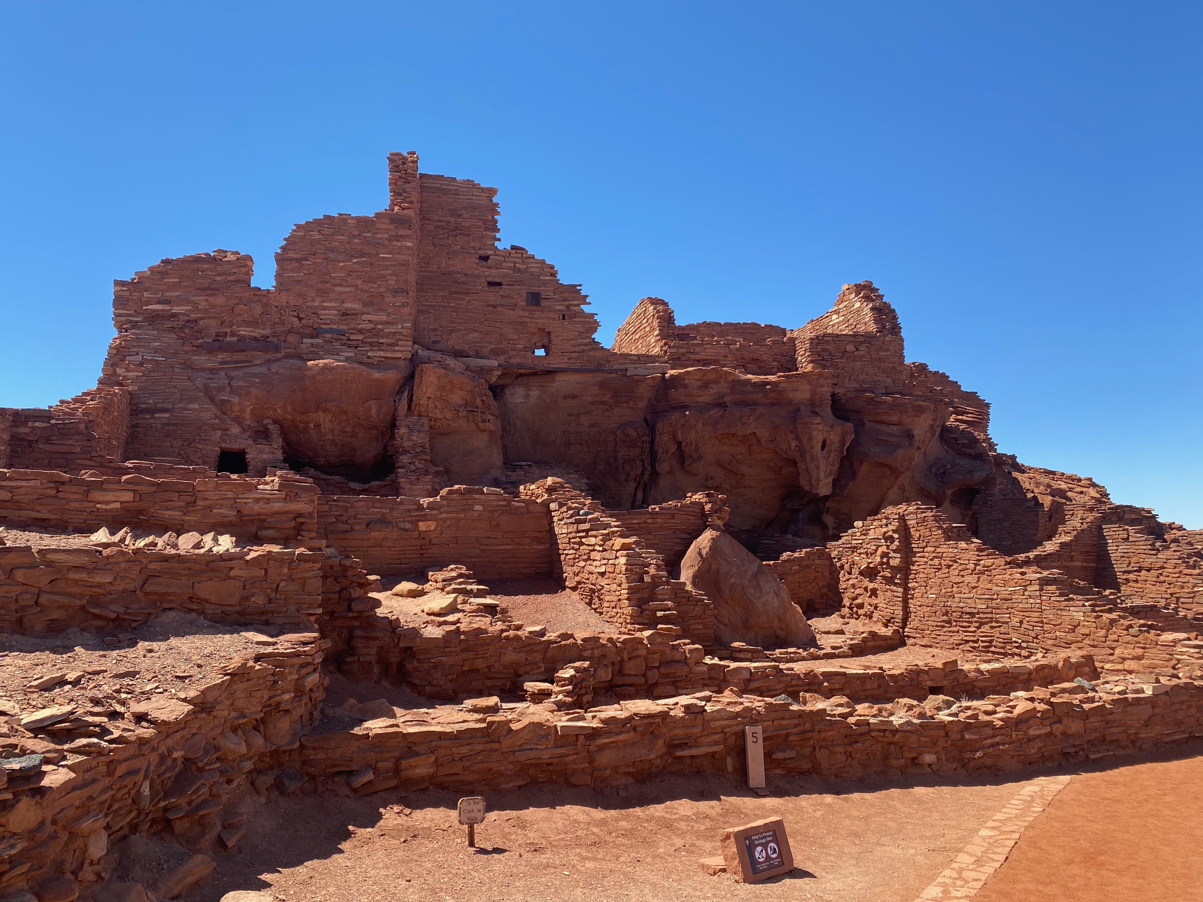
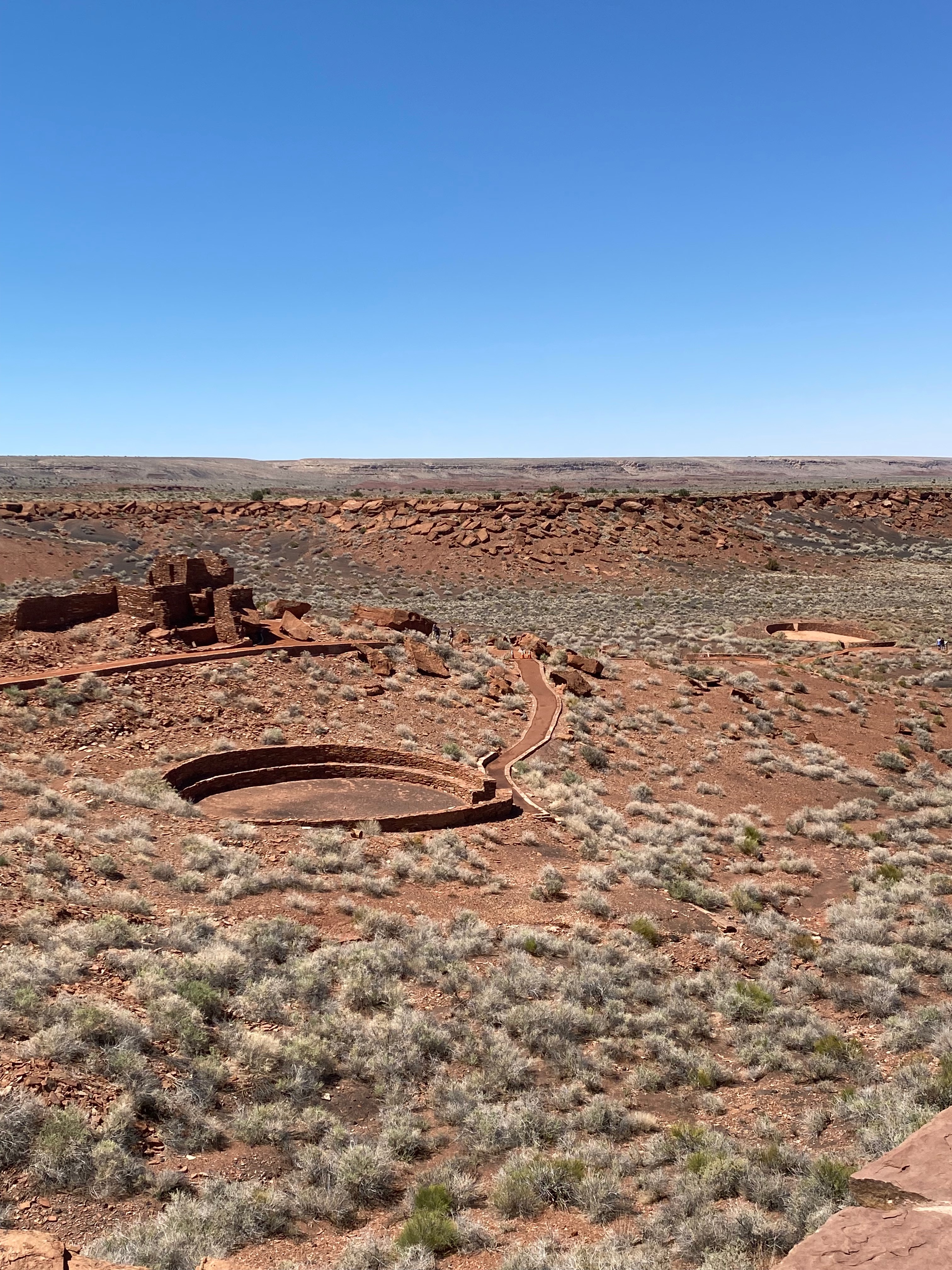
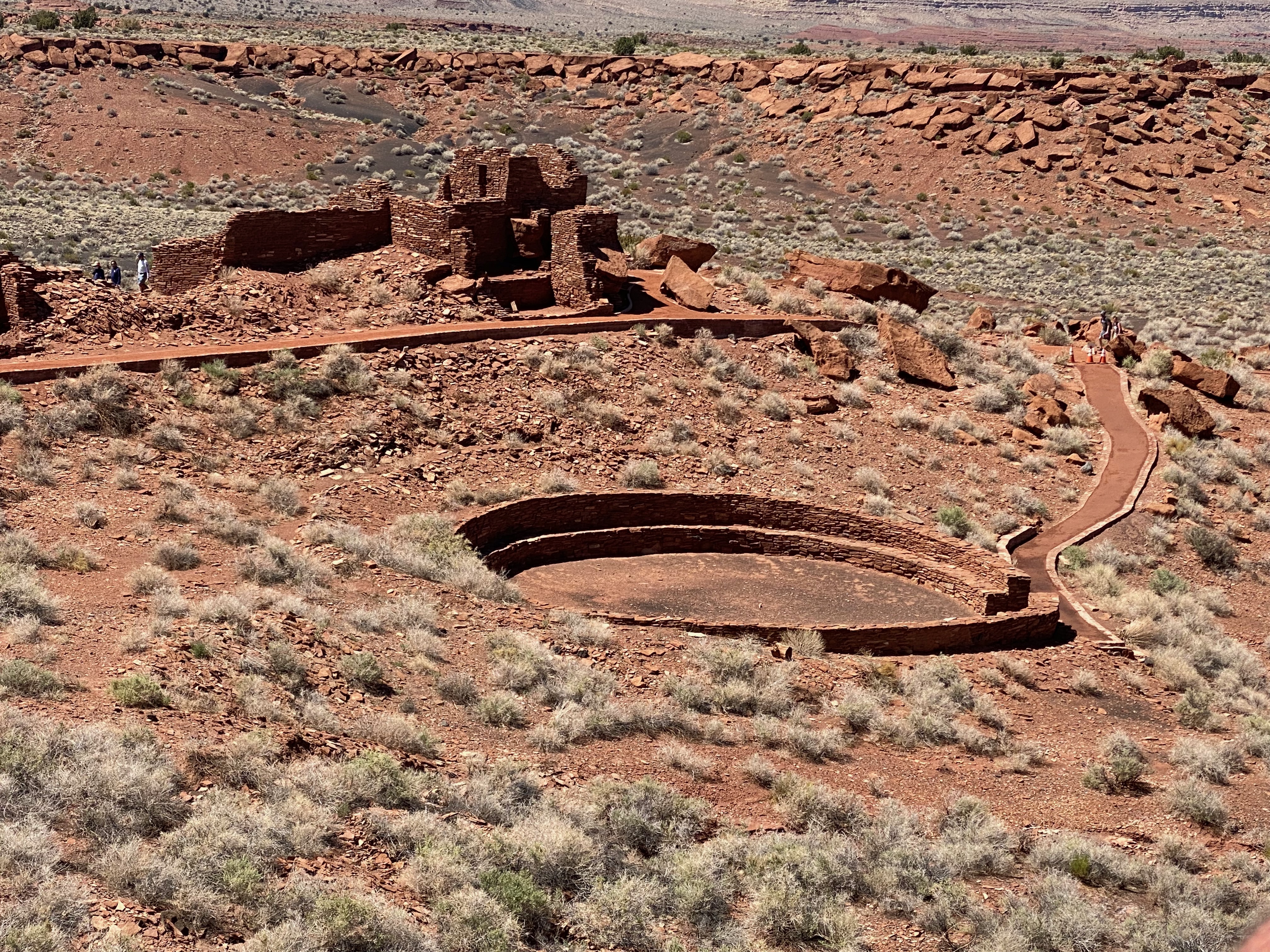
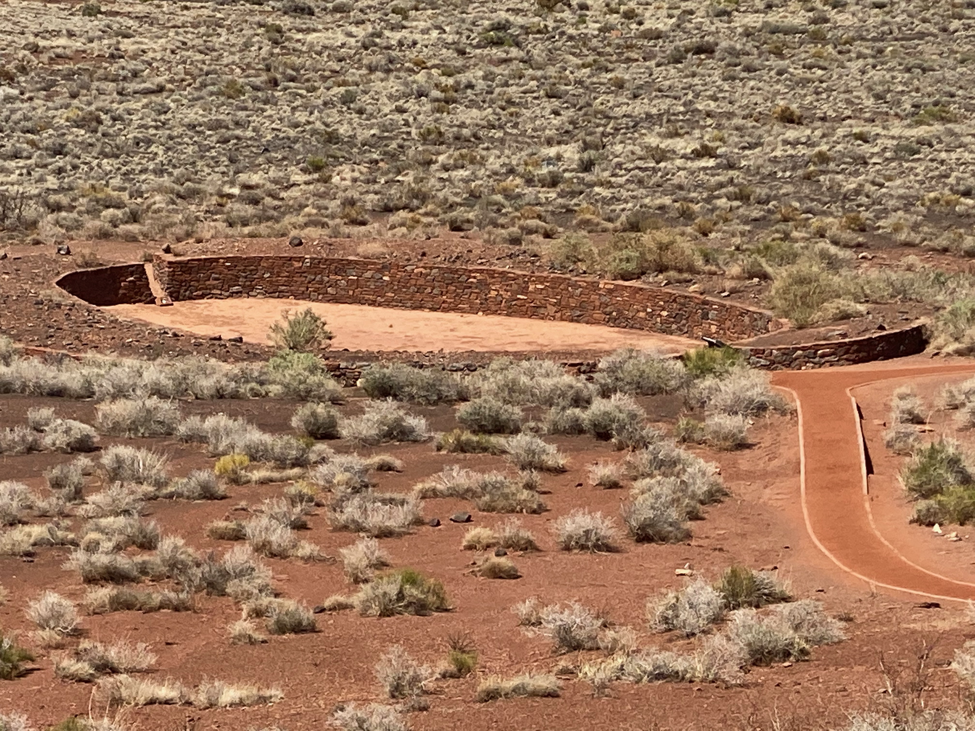
Wupatki National Monument
Continuing on the loop road that took us to Sunset Crater National Monument we arrived at Wupatki National Monument.
Wupatki National Monument is one of several sites preserving pueblos (villages) of ancient peoples, but unlike the Tonto, Montezuma, Casa Grande Ruins and Tuzigoot monuments which contain only one main building, here there are many ruins scattered over a large area of desert northeast of Flagstaff. The pueblos all have a distinctive deep red color and were made from thin, flat blocks of the local Moenkopi sandstone.
In total there are more than 800 identified ruins spread around many miles of desert within Wupatki National Monument, but five of the largest (Wupatki, Wukoki, Lomaki, Citadel and Nalakihu) are close to the main road, and these are the only sites open to visitors. All the dwellings were built by the Anasazi and Sinagua Indians during the 12th and 13th centuries – the habitation of this region was influenced by the eruption of nearby Sunset Volcano during the winter of 1064-5, as the resulting ash and lava made the surrounding land infertile and so the residents of that region moved further afield into desert areas previously considered too dry and barren. In the early 13th century all the settlements were abandoned, as were most other villages in this part of the Southwest, although it is believed that some of the present day Hopi are descended from the former inhabitants of the Wupatki pueblos.
americansouthwest.net
After our adventures at the monuments, we returned to Flagstaff for a late lunch.
Sedona
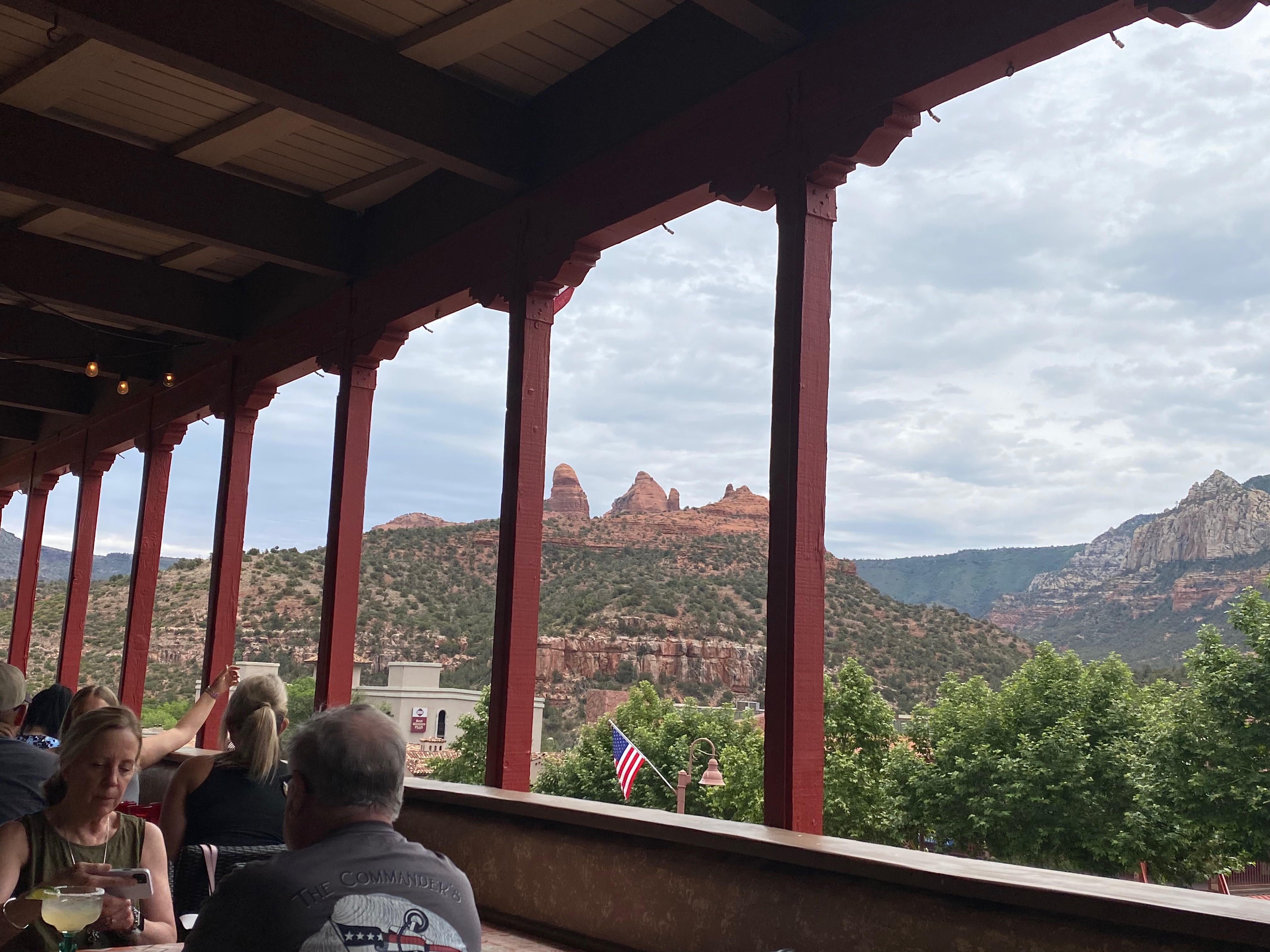
For our final exploration of the area, we decided to give Sedona another try. This time we drove in early to beat the crowds. Parking was a breeze as the lots were mostly empty and the shops were just beginning to open. We enjoyed chatting with some of the shop keepers as we perused their inventory. We debated about where to have lunch but finally settled on a Mexican restaurant (Oaxaca) close to where we parked. The view from the patio where we dined was hard to beat.
We enjoyed our time in the Williams area but there were places that we missed due to the distance involved – Cottonwood, Dead Horse Ranch State Park, Montezuma Castle National Monument, Tuzigoot National Monument, and Jerome. The next time we’re in the area, we might consider staying near Camp Verde. For now, it’s time to descend into the desert and enter “America’s Playground”.